WHAT DOES THAT MEAN FOR BC’S SNOWMOBILE SEASON?
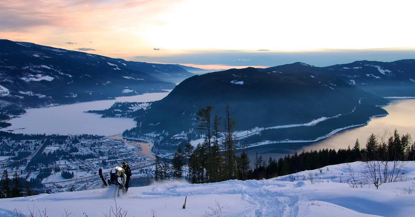
photo: Sicamous, BC | Instagram @sixx_seven_
Just when we thought El Niño was calling the shots this winter, the atmosphere decided to throw us a curveball.
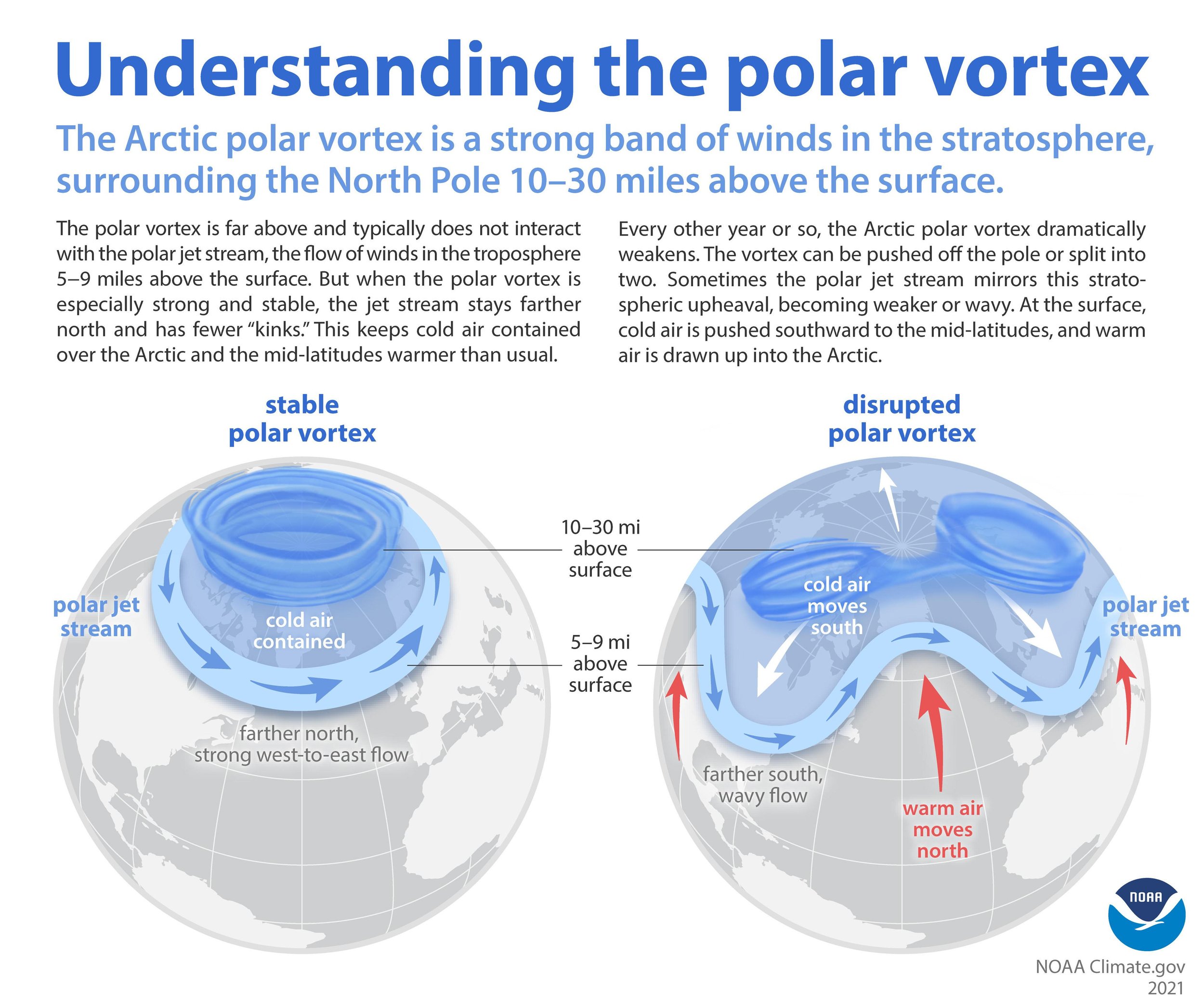
On November 10, something remarkable happened roughly 30 kilometres above the Arctic. The polar vortex reversed direction in an unusually early atmospheric disruption. And while everyone's been refreshing the snowcams, weather watchers have another reason to pay attention.
WAIT THE POLAR VORTEX DID WHAT?
Normally, the stratospheric polar vortex is a powerful circulation of winds moving west to east high above the Arctic. But when temperatures in the stratosphere rise rapidly, those winds can weaken, shift or even reverse direction. That's what happened this month, disrupting the atmospheric circulation much earlier than these events typically occur.
Here's where things get interesting. Sometimes these disturbances influence the atmosphere below, altering the jet stream and increasing the possibility of Arctic air pushing farther south. The catch? That connection isn't guaranteed, and any effects can take several weeks to develop.
BUT AREN’T WE IN AN EL NINO WINTER?
We sure are. And it's a big one. NOAA's November outlook indicates a strong-to-very-strong El Niño is likely to continue through the heart of winter. For Western Canada, El Niño generally tilts the odds toward milder conditions, although individual storms and cold spells can still deliver plenty of mountain snow.
Now we've got an unusually early polar vortex disruption in the mix. Does one cancel out the other? Not exactly. These atmospheric patterns operate on different timescales, and what happens next depends on how the jet stream responds.
SO, COULD BC BE IN FOR MORE SNOW?
That's the million-dollar question. A disrupted polar vortex can increase the chances of Arctic air reaching farther south, but cold temperatures alone don't make powder. For BC's riding areas, the magic happens when cold air meets incoming Pacific moisture.
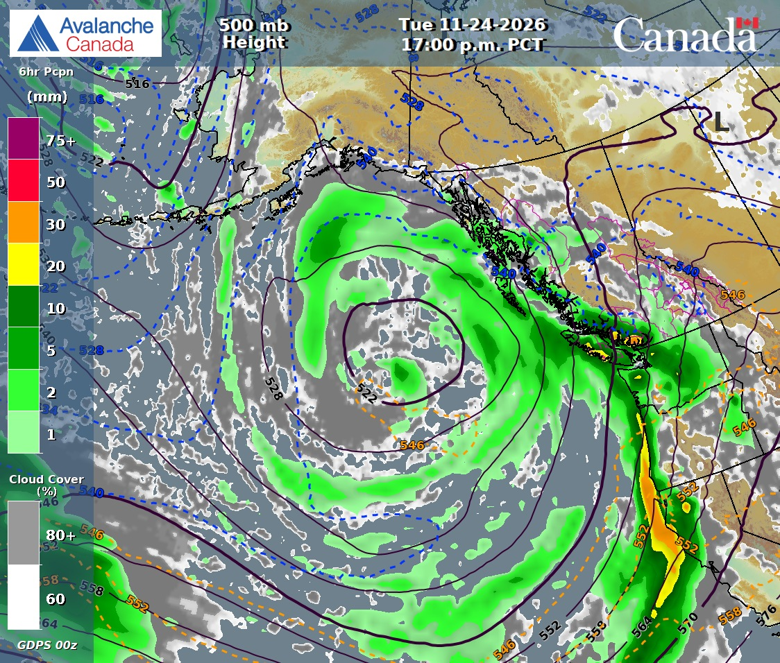
Forecast for November 24, 2026, showing an approaching Pacific weather system. Precipitation and mountain snowfall will vary with storm tracks and freezing levels. Source: Avalanche Canada / ECCC GDPS.
As of mid-November, BC's mountain snowpack is beginning to take shape, but it's a mixed picture. Observations from several riding regions show roughly 30–50 cm of snow at higher elevations, while other areas remain considerably thinner. Winter has arrived, but it hasn't arrived everywhere equally. And even where the snow is stacking up, early-season hazards and limited coverage mean it's important to wait for suitable riding conditions.
And there's already something worth watching on the horizon. After a relatively cold, quiet stretch across much of BC this weekend, forecasts are pointing toward a more active Pacific storm track beginning around November 23. That could bring another round of mountain snowfall through the final week of November, although freezing levels, storm tracks and accumulation will vary across the province. For a snowpack still finding its footing, the next storm cycle could be an important one.
THE SNOWCAM WATCH IS ON
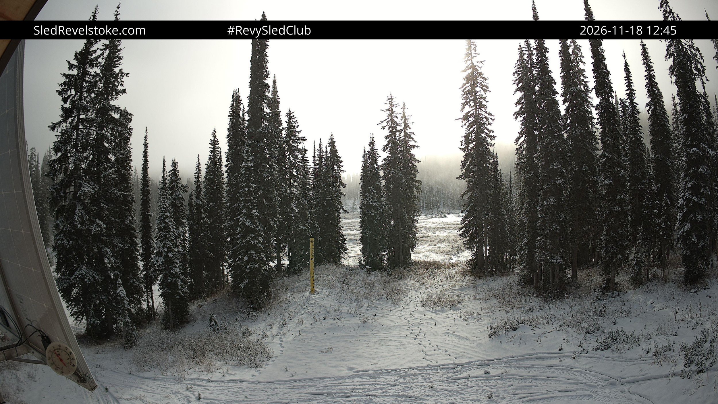
Revelstoke Snowmobile Club
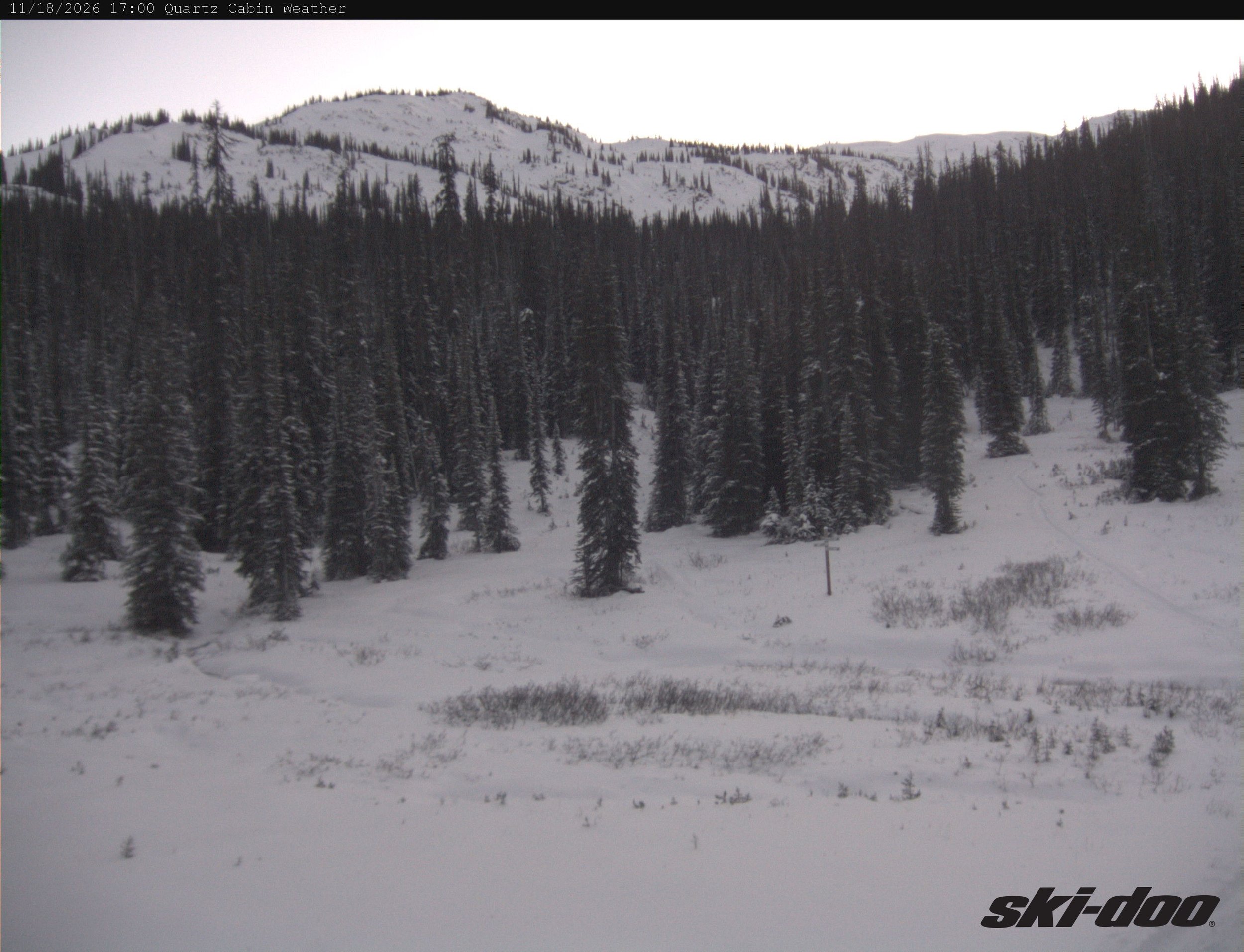
Sled Golden
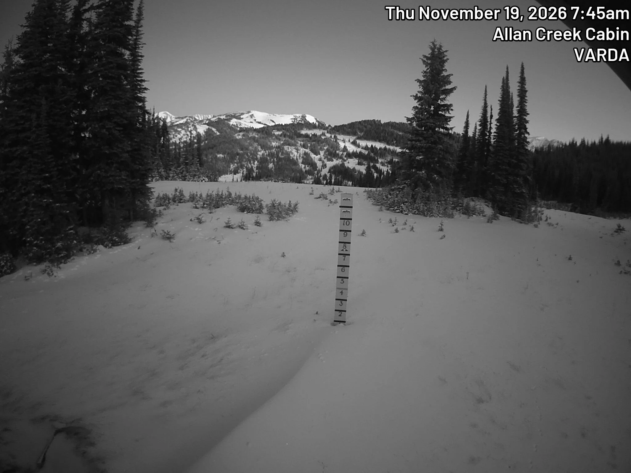
Valemount & Area Recreation Development Association
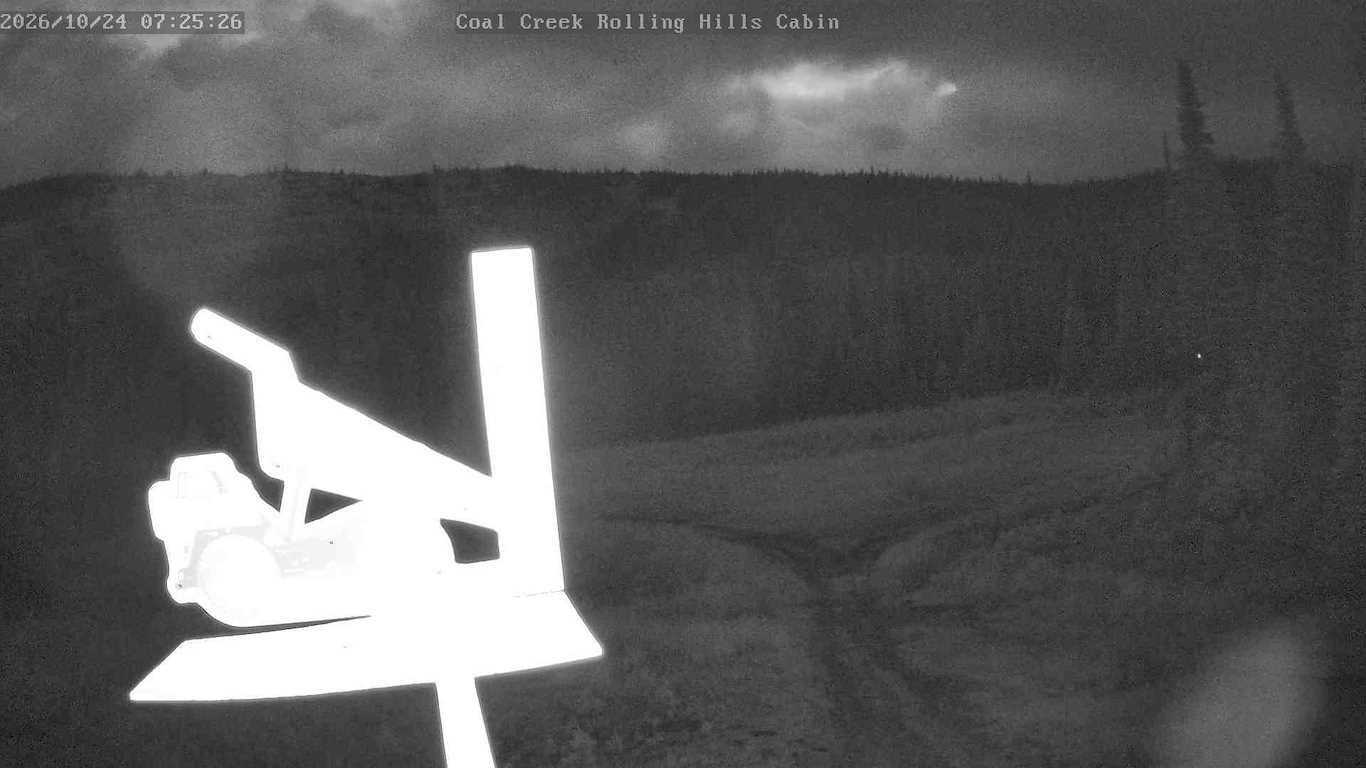
Fernie Snowmobile Association
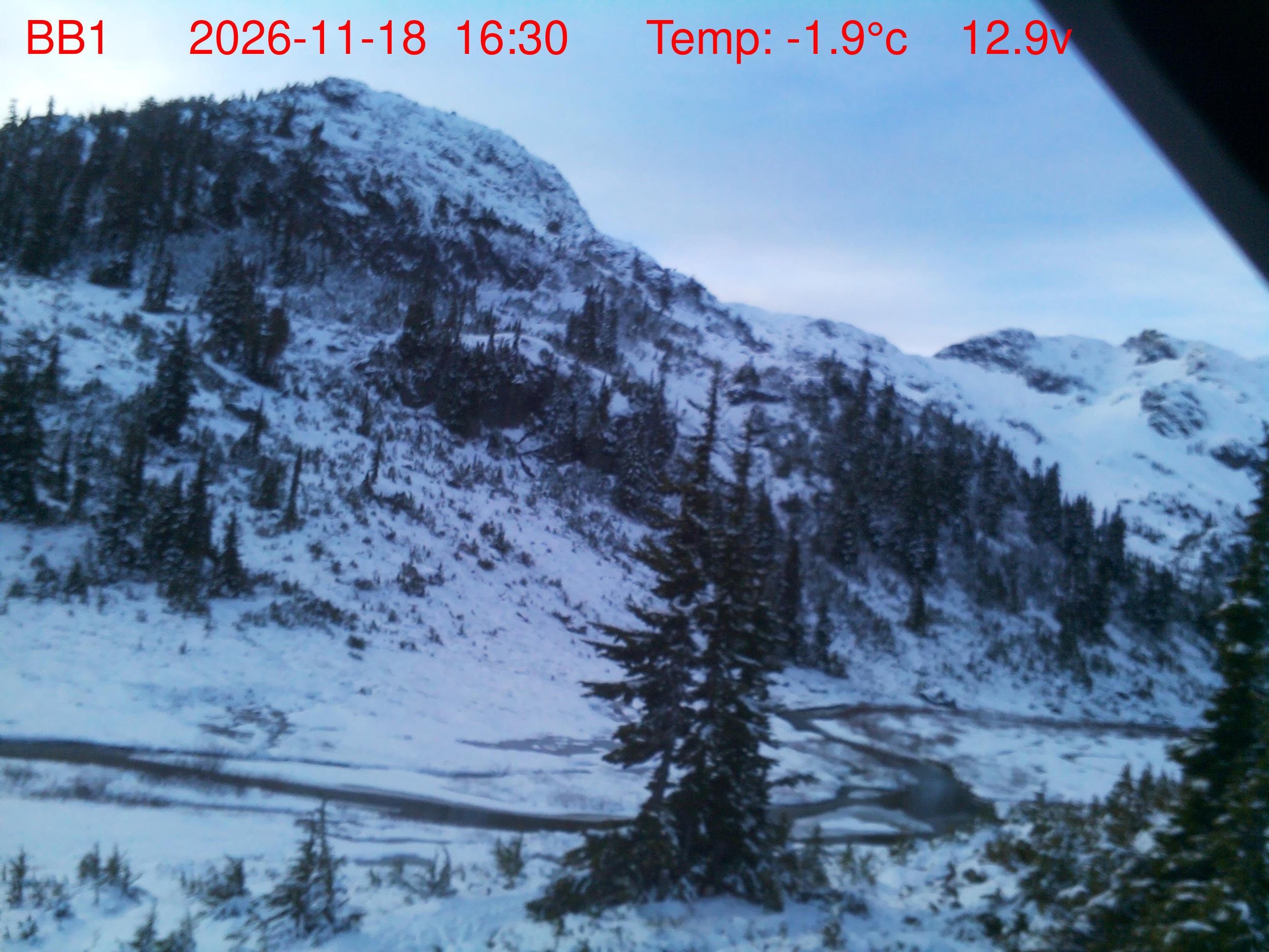
Powder Mountain Snowmobile Club
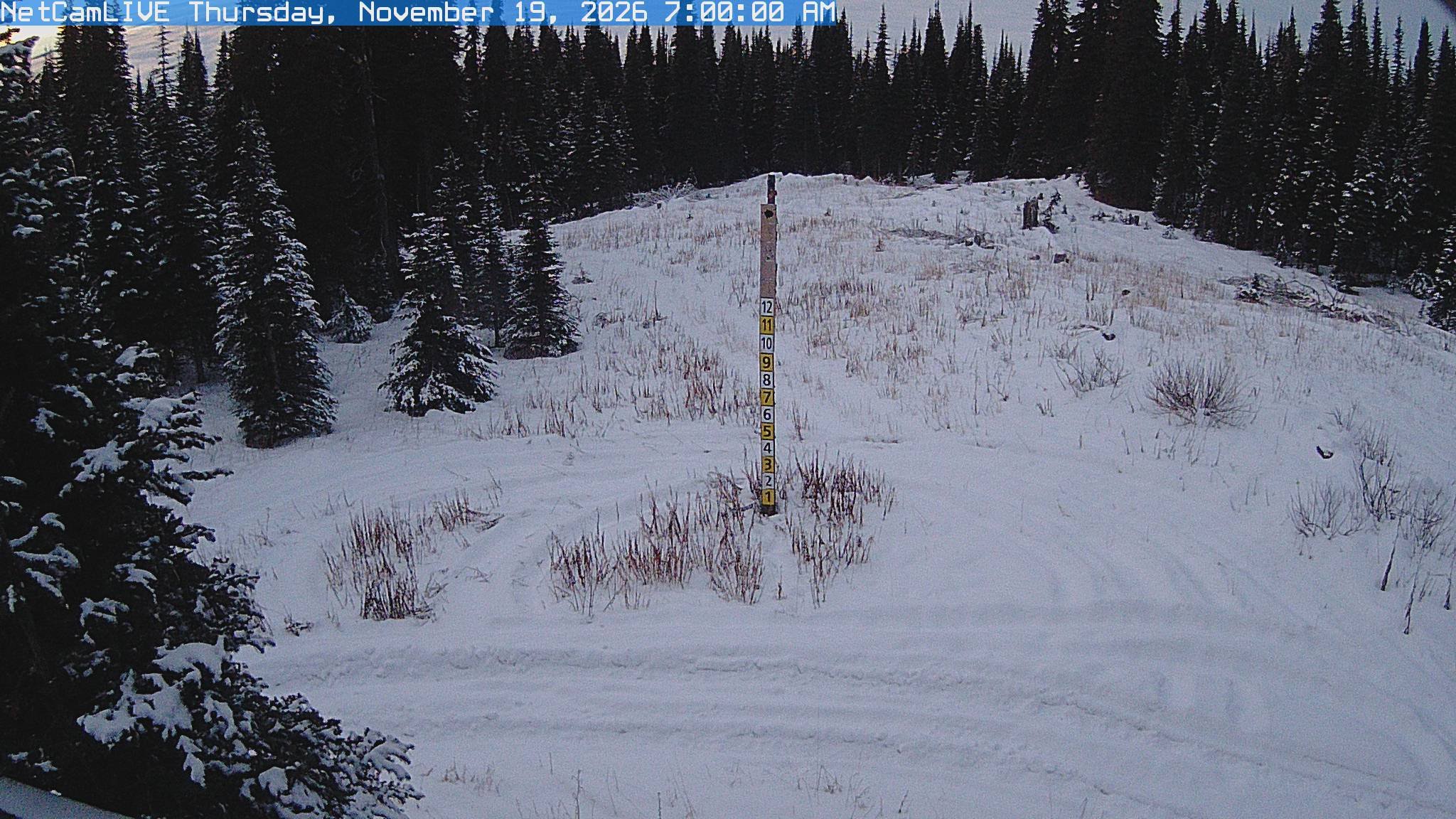
Crowfoot Mountain Snowmobiel Club
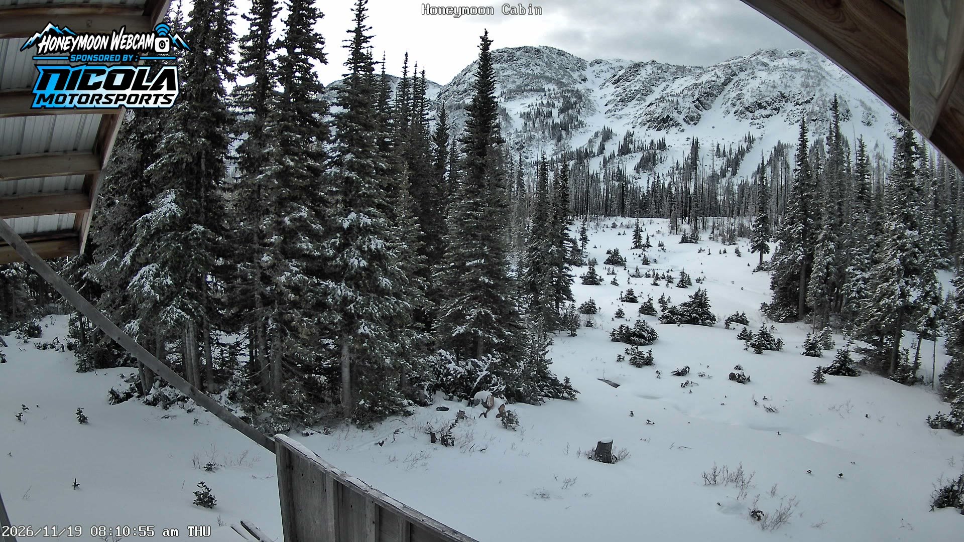
merritt snowmobile club
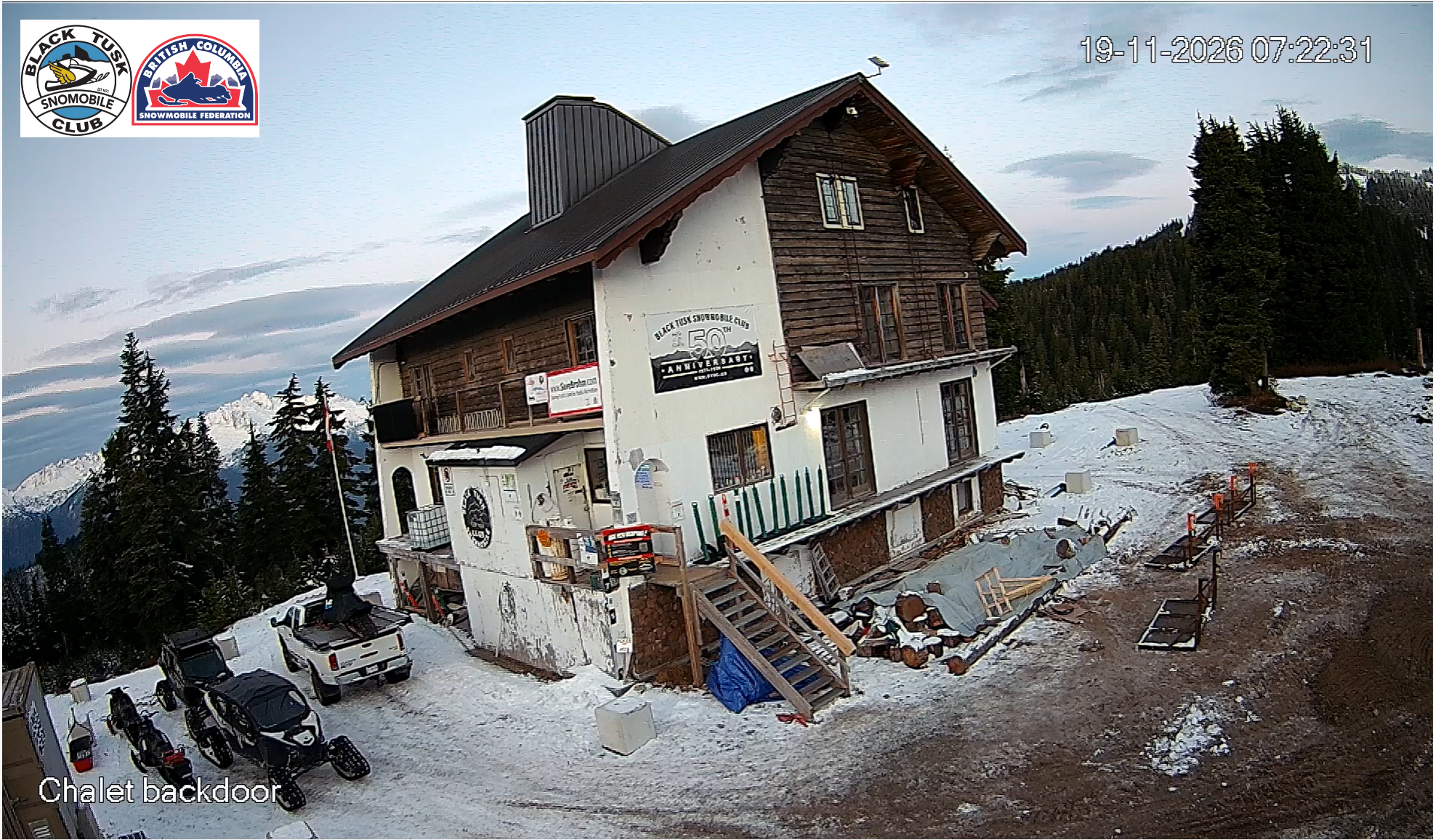
blacktusk snowmobile club
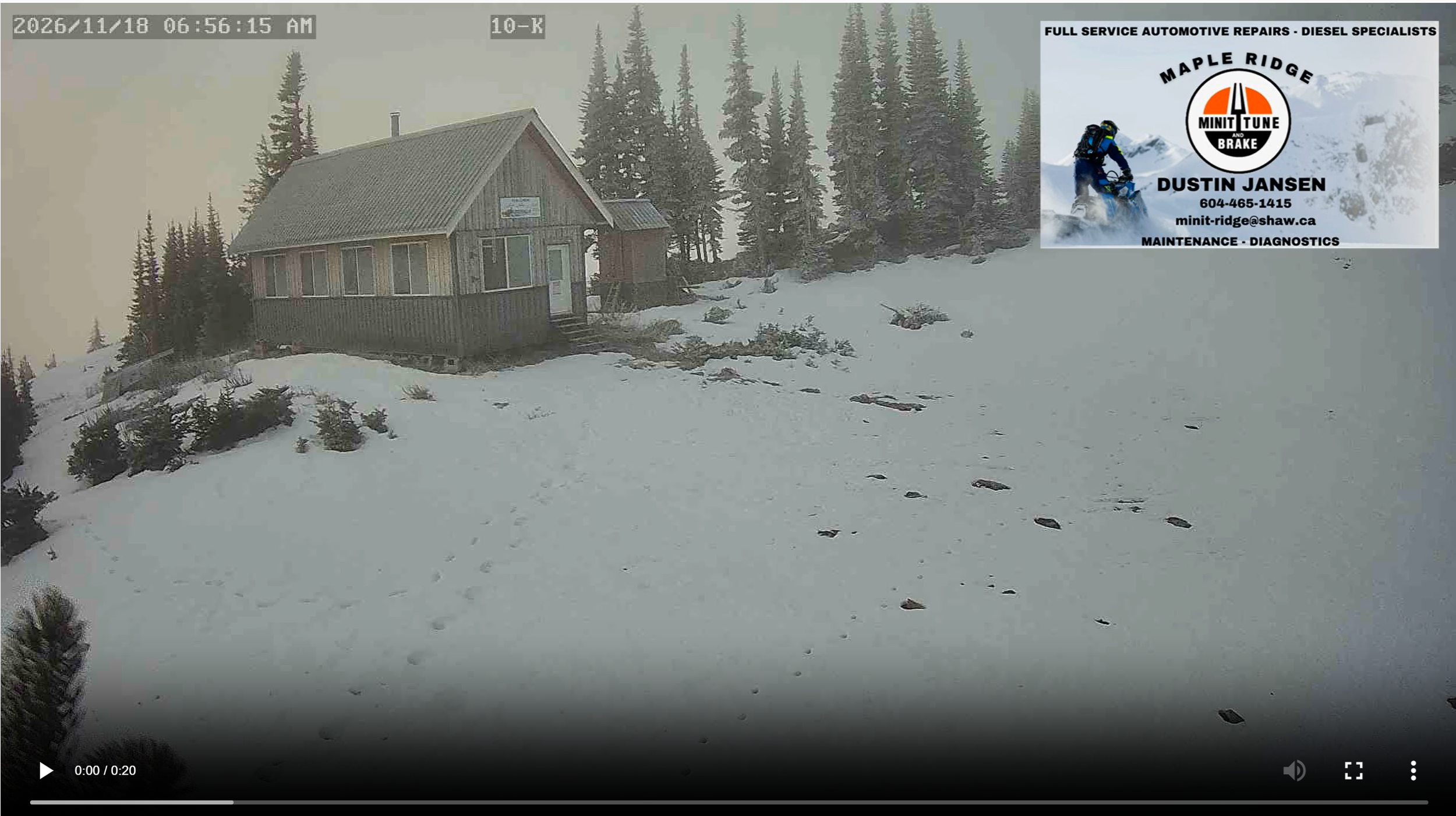
Coquihalla Snowmobile Club
If you've been checking your favourite club webcams on repeat, you're not alone. From the Kootenays to Northern BC, watching the snow pile up is practically a November tradition.
We've rounded up a few webcams from across the province so you can follow winter's progress for yourself. Bookmark your favourites, check back after the next storm and watch those riding areas turn white.
You'll also find webcam links, riding areas, trail information and closures on the BC Snowmobile Trail Map. Just remember, a promising snowcam doesn't mean an area is ready to ride. Check local club updates, access restrictions and avalanche conditions before heading out.
Mother Nature could flip the switch at any time. Make sure you're ready when she does.
GO DEEPER
THE BIGGER WINTER PICTURE
El Niño might be shaping this winter's forecast, but what does history tell us about the snow?
We dug into decades of snowfall records from some of BC's biggest snowmobile destinations to find out what actually happens during El Niño winters. The results might surprise you.