GOLD RUSH SNOWMOBILE TRAIL
463 KM. FIVE COMMUNITIES. ONE BIG RIDE.

The Gold Rush Snowmobile Trail runs 463 kilometres through the heart of this country, weaving together small communities, local trail networks and an enormous stretch of winter terrain. Along the way, old mining remnants, weathered structures and traces of the region’s gold-rush past still turn up beside the trail.
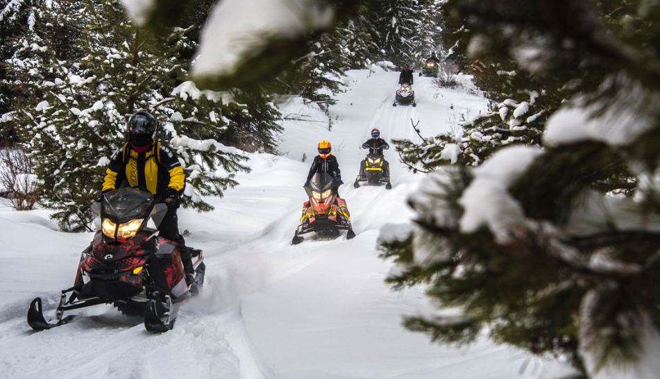
Ride a section and be back at the truck that afternoon. Or load the tunnel bag, point your skis north and keep going—pulling into another community for fuel, food and a warm bed before doing it all over again the next morning.
A lot changes along the way. Forest gives way to frozen lakes, wetlands and open country before the Cariboo Mountains rise ahead. But the independence and self-reliance that have always defined this part of BC are never far from the trail. Out here, the journey is still the point.
EXPLORE THE RIDING
-
CLINTON → 100 MILE HOUSE
PLATEAU & COWBOY COUNTRY
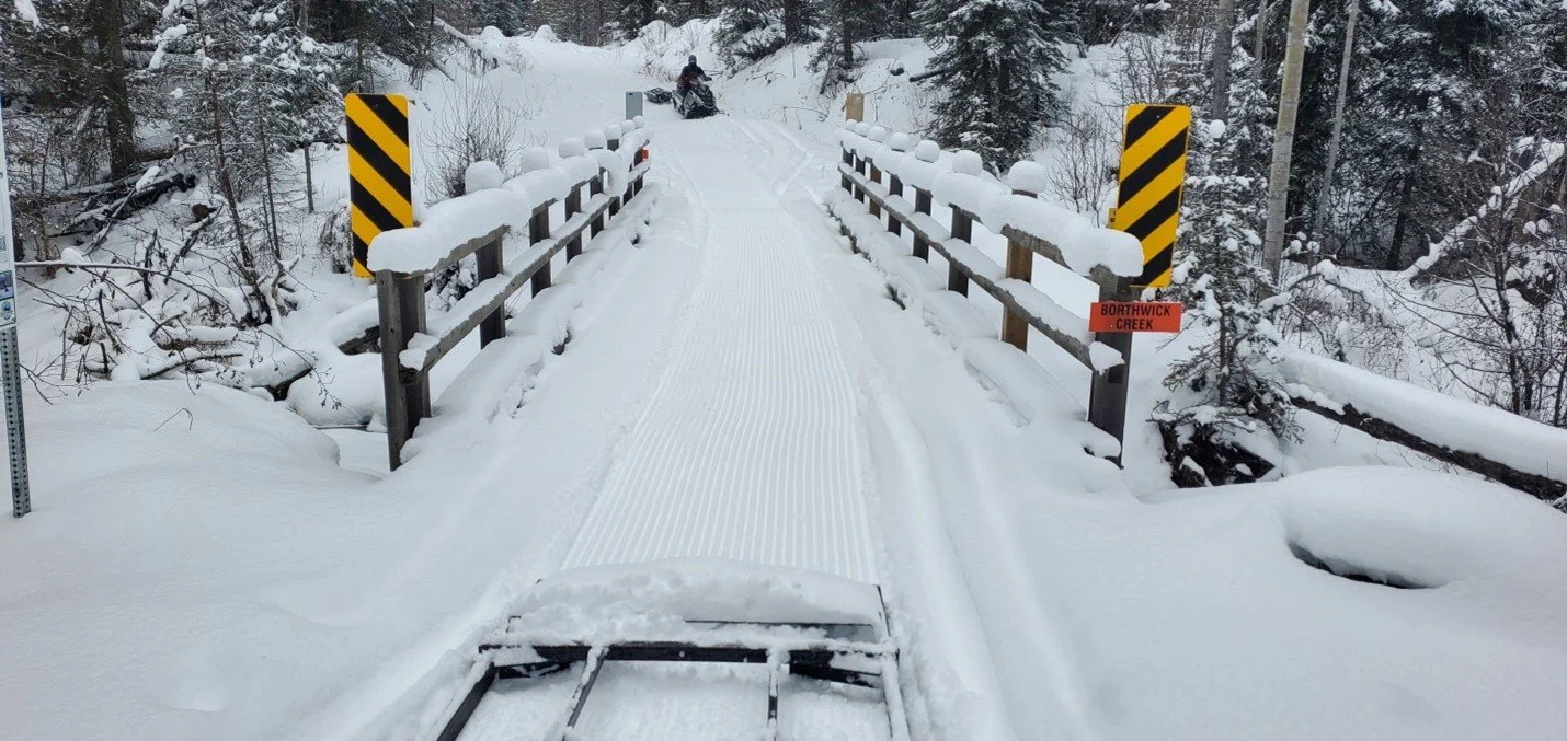
From Clinton, the trail rolls onto the high plateau of the South Cariboo through grasslands and open stands of lodgepole pine. 70 Mile House makes a natural stop along the way, while simple backcountry warming shelters offer places to knock the snow off your boots and get out of the wind.
-
100 MILE HOUSE → LIKELY
LAKES & GOLD COUNTRY
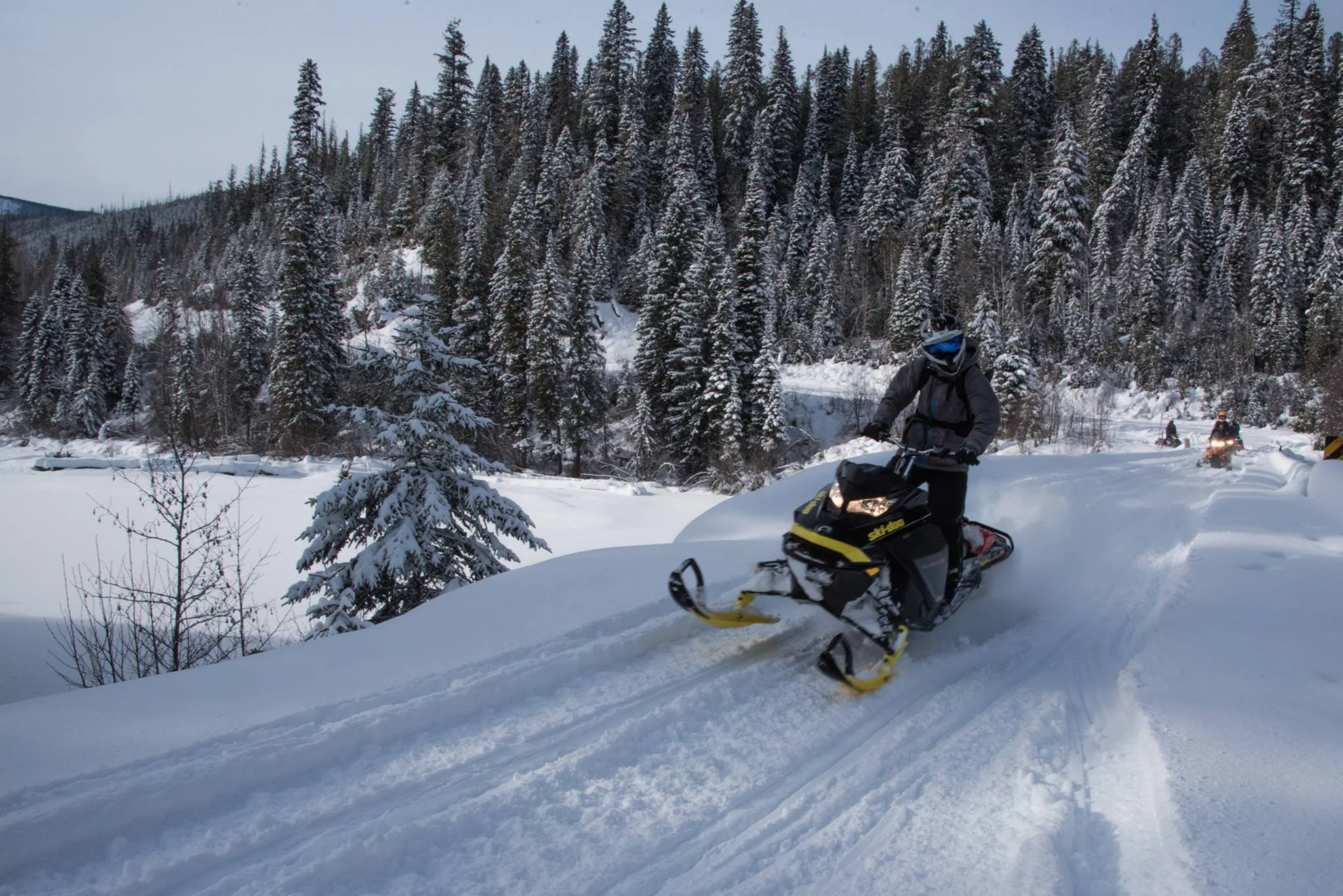
North of 100 Mile House, lakes begin appearing between the trees as the trail winds past frozen shorelines, wetlands and old gold country. Horsefly carries some of the region’s earliest mining history, while Likely is the kind of place where lunch can easily turn into local intel for tomorrow’s ride.
-
LIKELY → NORTH
INTO THE CARIBOO MOUNTAINS
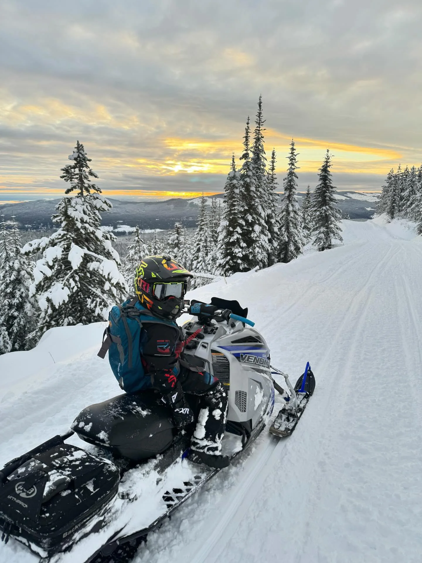
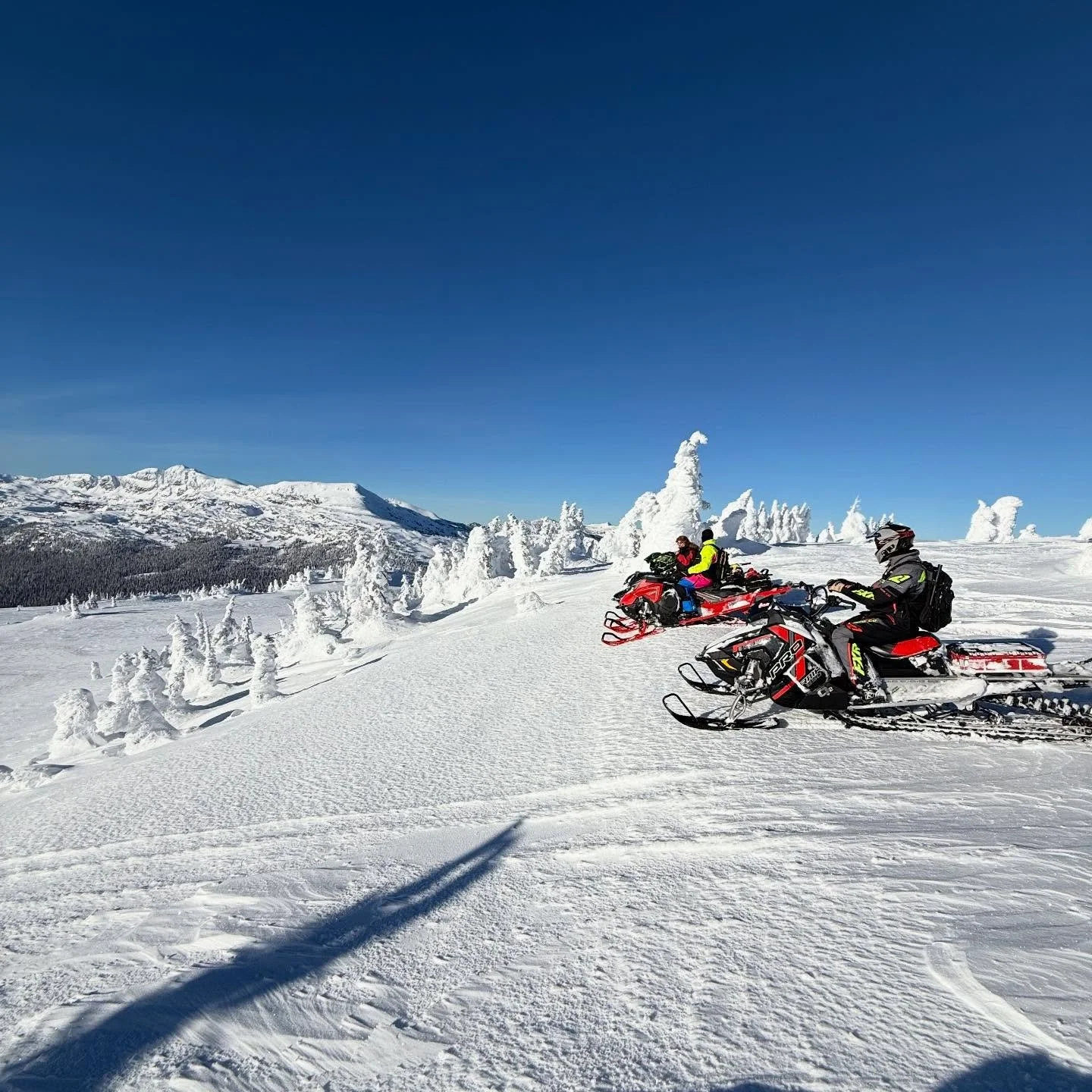
Beyond Likely, the country begins to climb toward the Cariboo Mountains. Yanks Peak opens the door to a larger mountain-riding network, while farther north, Wells and Barkerville bring the journey back into the heart of BC’s gold-rush history, still written across the landscape.

see it for yourself
463KM IN MOTION
Follow the BC Snowmobile Federation’s 50th anniversary ride north through the Cariboo, linking trails, communities and gold-rush country on the journey toward Barkerville.
PLAN THE JOURNEY
READY TO RIDE?
Ride a section, make a weekend of it or follow the trail farther north. Start with the details that make the trip work.
TRAVEL
WHERE TO STAY
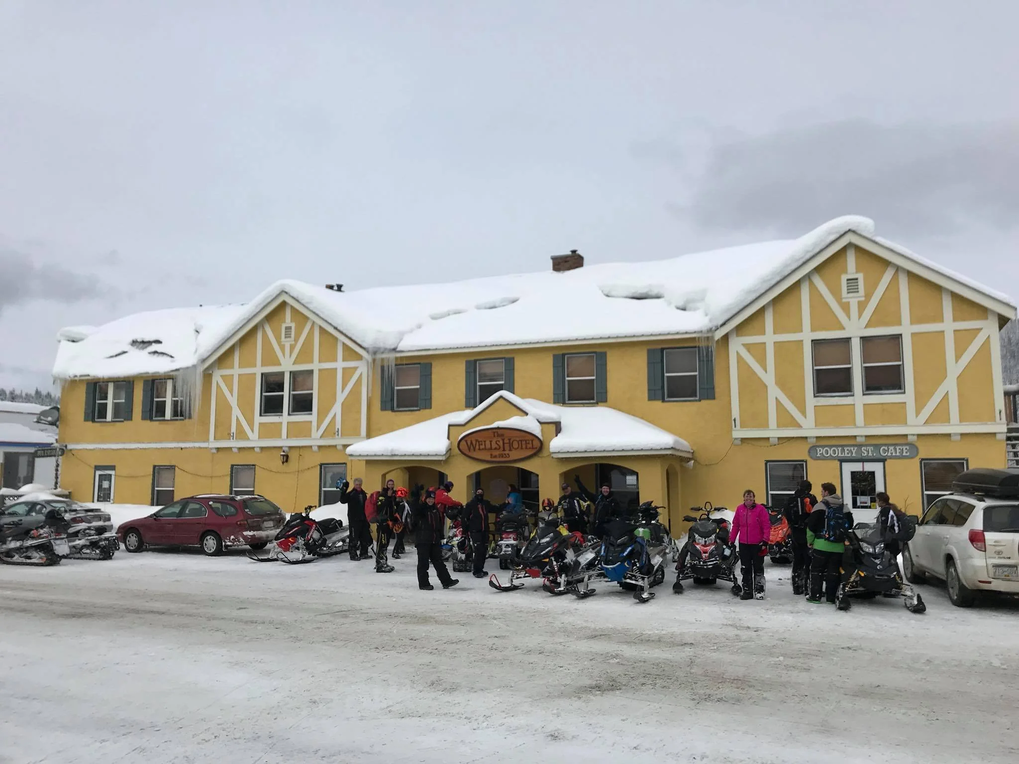
Find places to stay along the route, with a warm bed waiting at the end of a day on the trail. →
plan your ride
KNOW BEFORE YOU GO
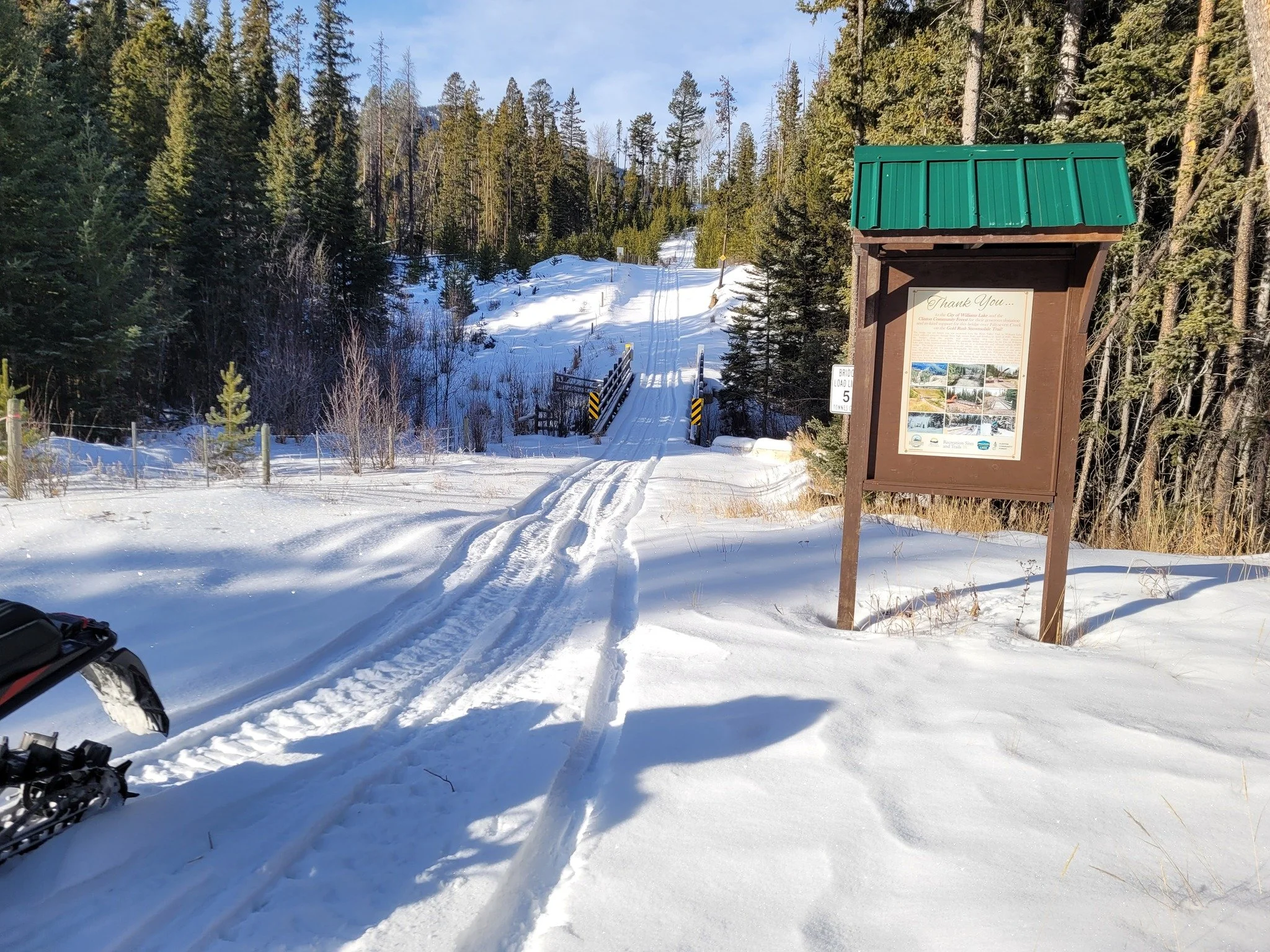
Dig into route information, maps and the practical details you’ll want before setting out. →
EXPLORE
WORTH THE DETOUR
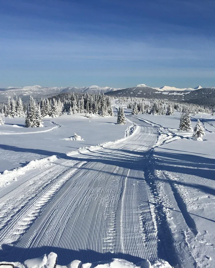
Yanks Peak opens up another mountain-riding experience worth adding to your Cariboo trip.. →
STORIES FROM THE AREA


WEEKEND RIDE REPORT
Conditions, deals and a little inspiration for the weekend ahead — straight to your inbox.