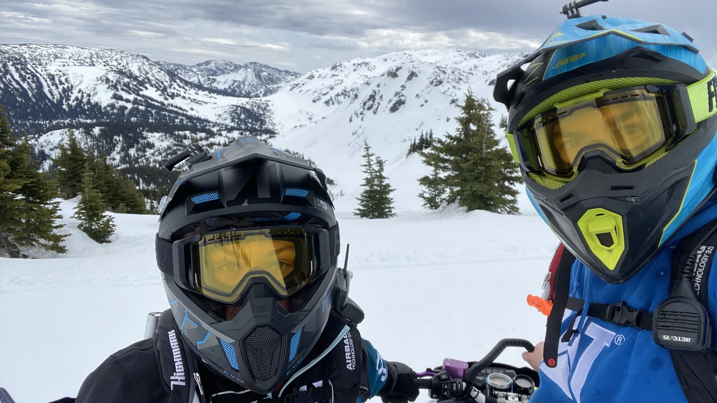
RIDING INTO THE FUTURE
How the Merritt Snowmobile Club Is Using Technology to Improve the RIDER EXPERIENCE IN BC
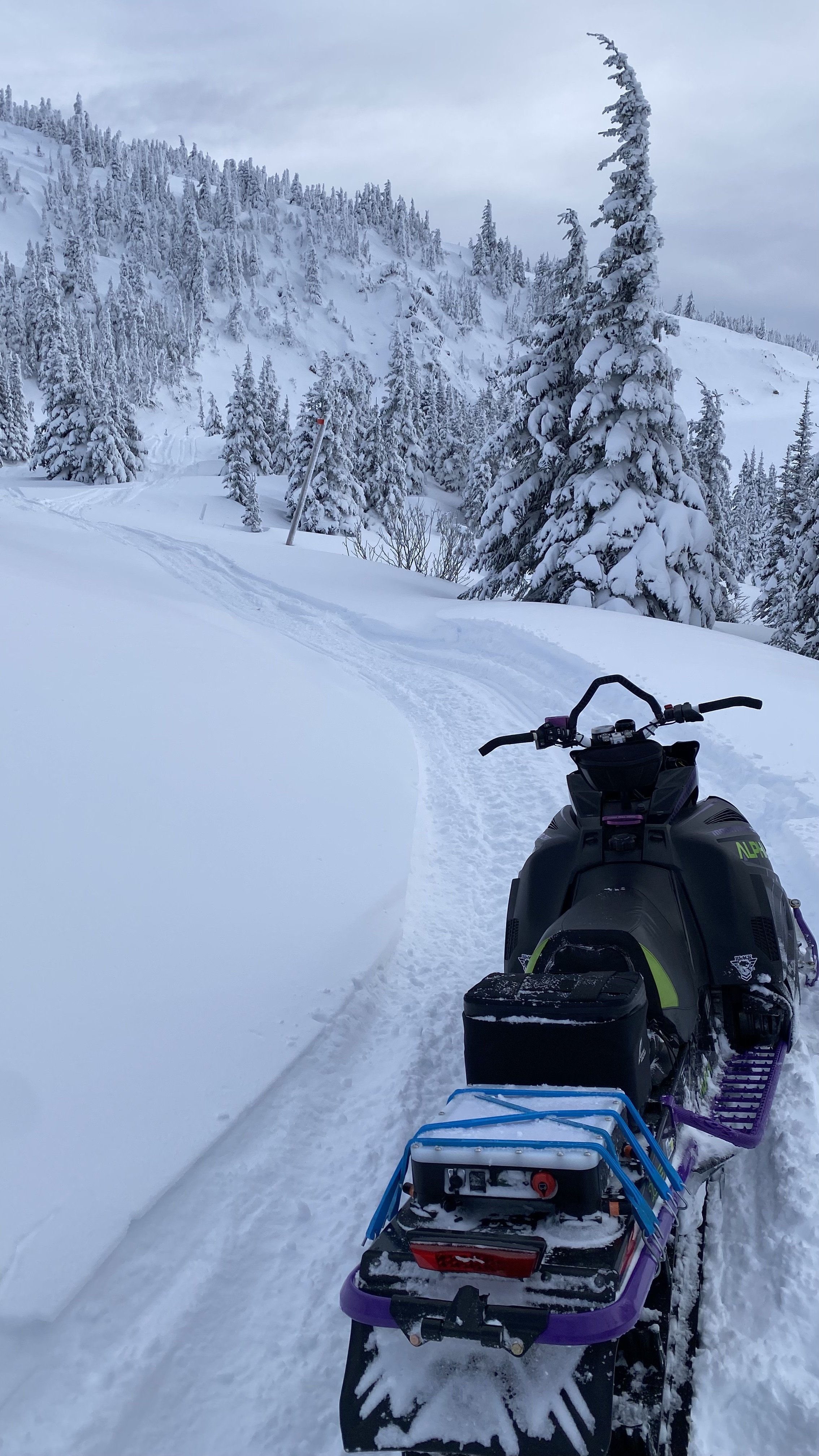
Snowmobiling has always been about reading terrain, watching the weather, and learning through experience. But across British Columbia, a new layer is emerging — one built on better information.
In BC’s Nicola Valley, the Merritt Snowmobile Club is using technology to give riders clearer insight into what’s happening in the mountains before they even arrive.

SEEING CONDITIONS BEFORE YOU GO
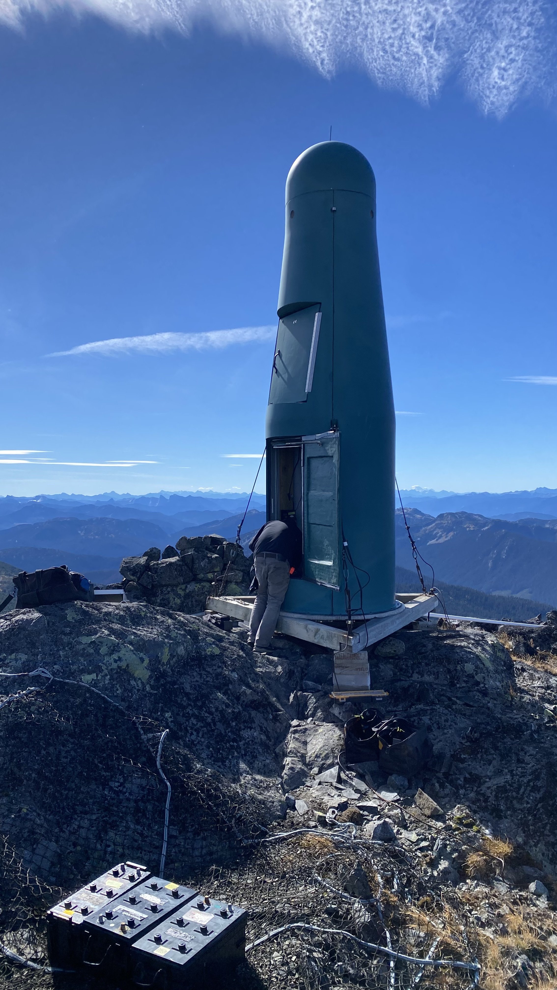
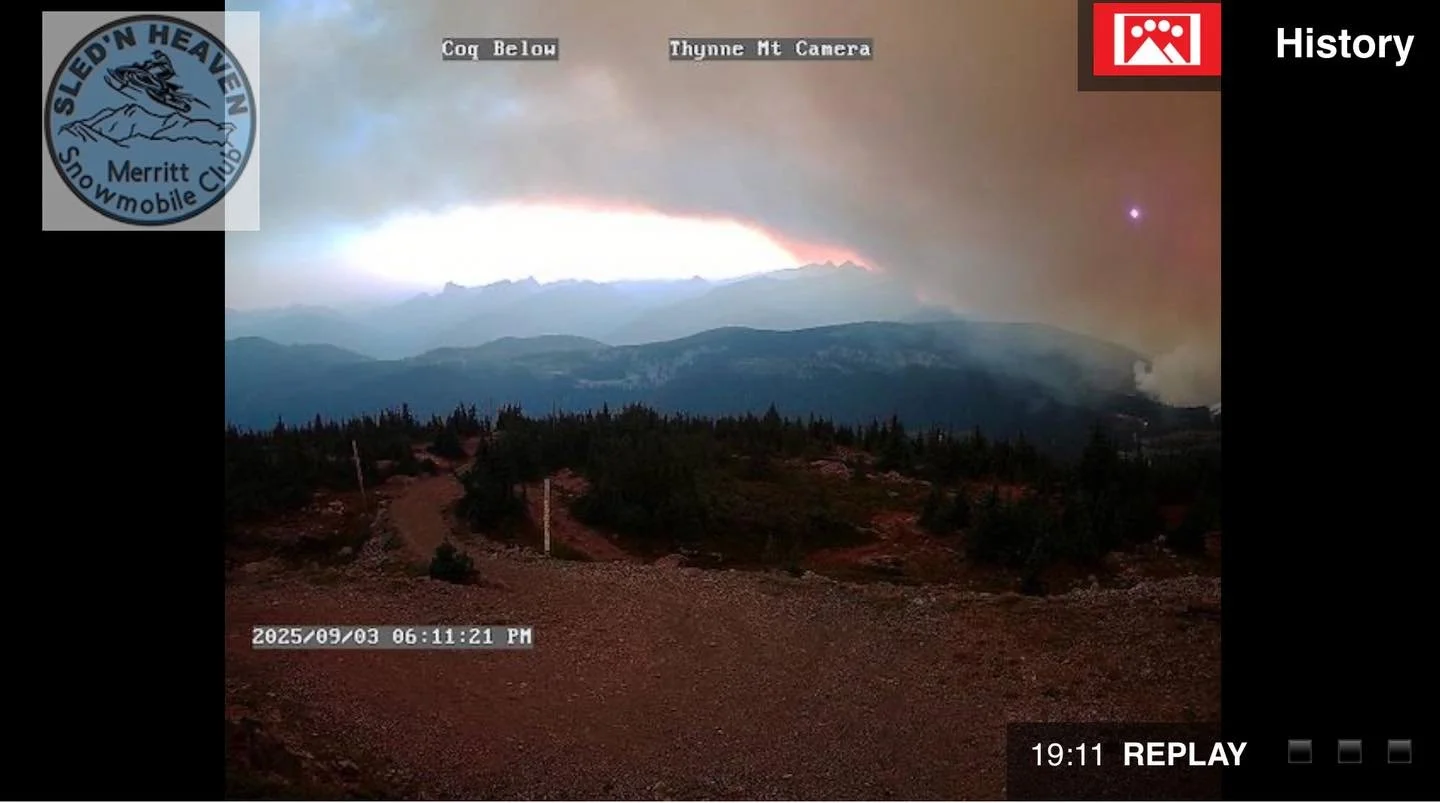
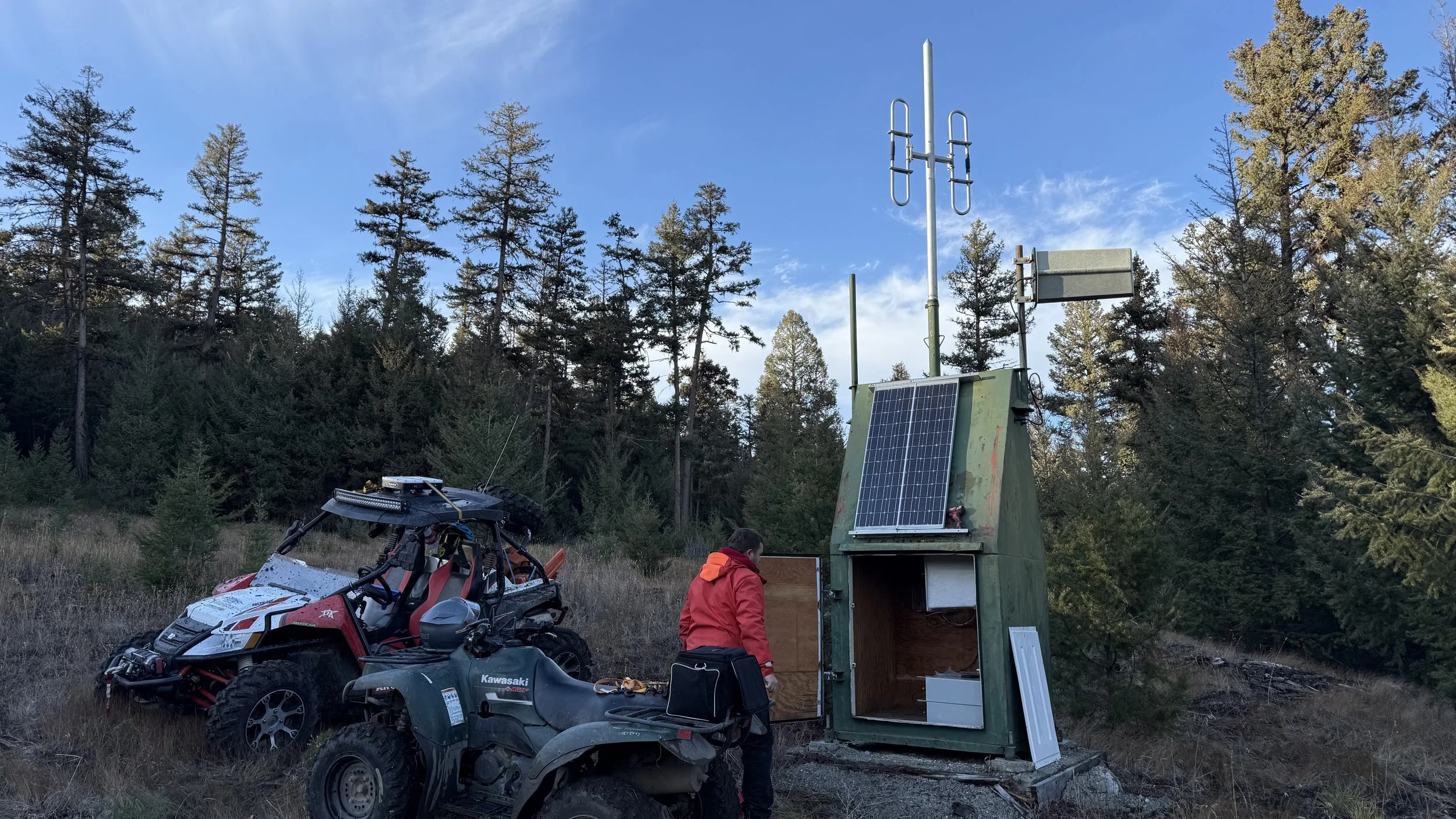
Merritt’s riding areas are supported by three remote webcams positioned at key locations including Thynne Mountain, the Brookmere staging area, and along the Honeymoon Trail. Each camera updates regularly, giving riders a near real-time look at conditions. Is there fresh snow? What’s the visibility? Is the parking lot filling up?
You can often answer those questions before leaving home.
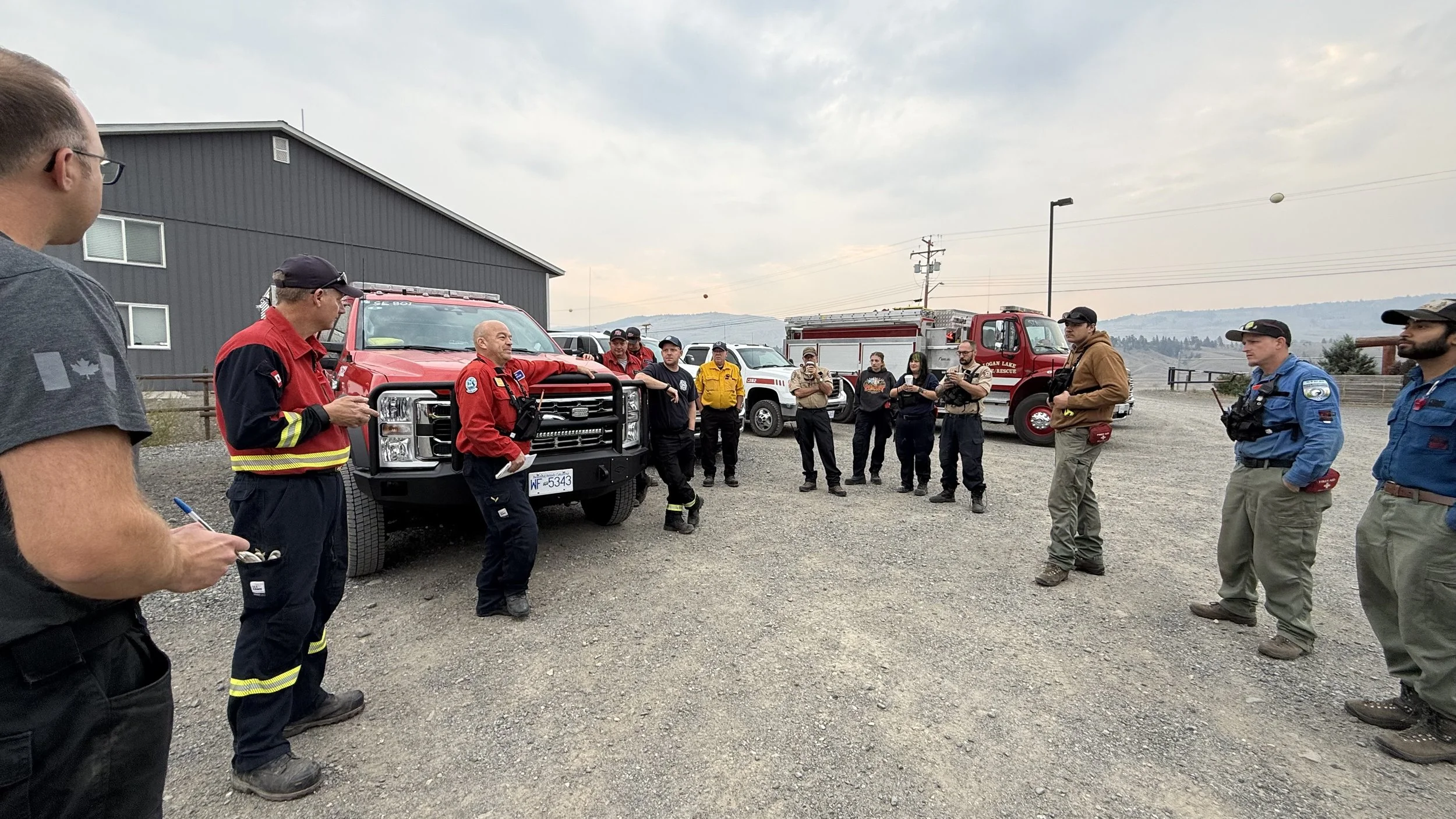
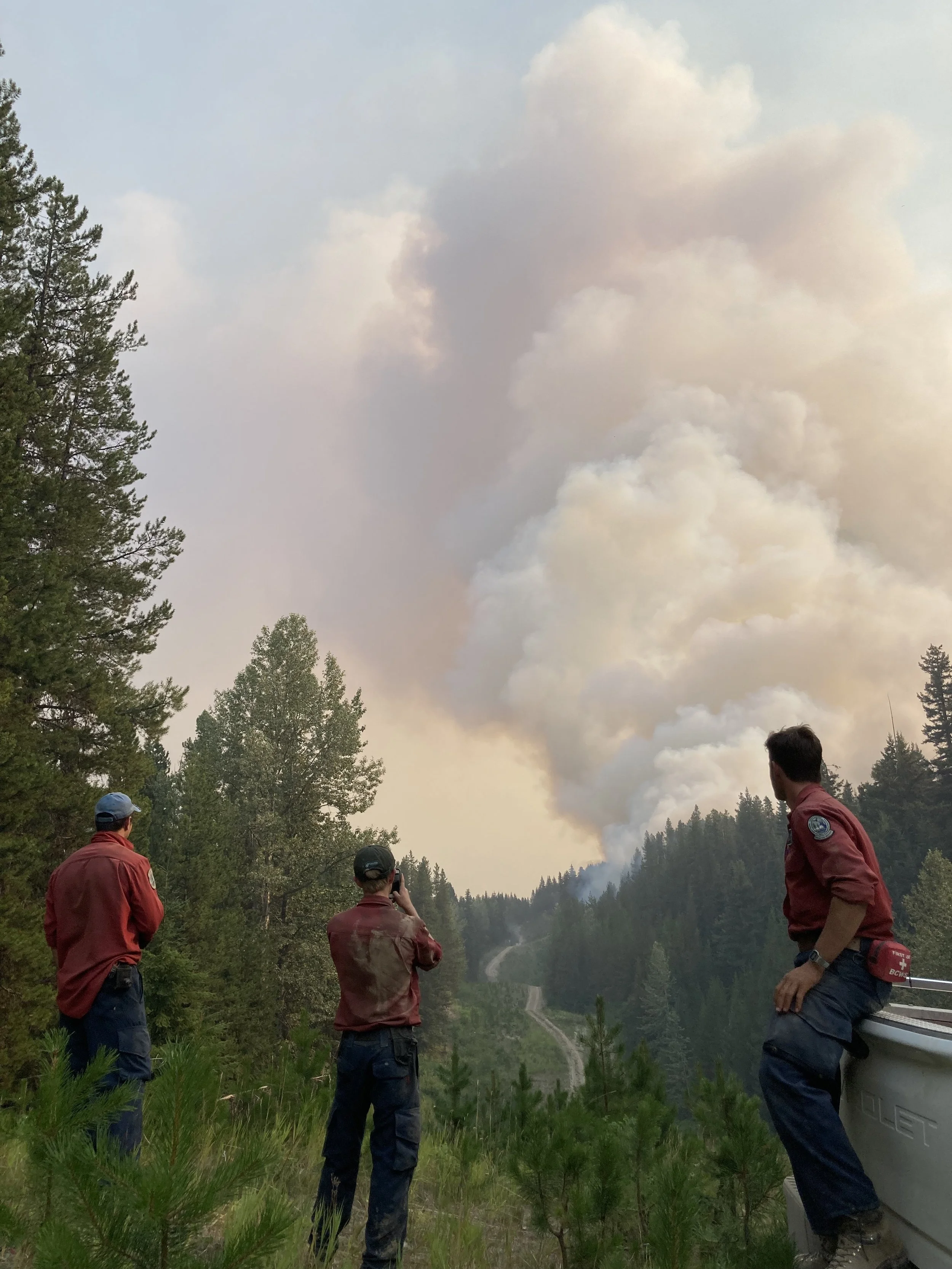
These systems have proven valuable beyond recreation. In late summer 2025, the BC Wildfire Service used the club’s webcams alongside digital tools — including the BC Provincial Snowmobile Trail Map — to monitor fire behavior and help plan access for responding crews.
ONE MAP, ALL THE INFORMATION
One of the most significant advances for riders in recent years isn’t tied to a single destination — it’s provincial.
The BC Provincial Snowmobile Trail Map brings together more than 150 data layers into one platform designed specifically for snowmobilers — and each year, over 15,000 riders are already using it to plan and navigate their days in the mountains.
For BC sledders, that means access to real-time information across more than 18,000 kilometers of trails, including staging areas, shelters, and integrated webcam links. The map also includes Avalanche Terrain Exposure Scale (ATES) layers and snowmobile closure polygons including the dynamic zones that can open or close based on wildlife collar tracking data — helping riders better understand not just where to go, but how to ride responsibly.
Available on desktop, in-dash displays via BRP Go and Polaris Ride Command, Garmin devices, and an offline mobile app, it’s designed to go with you wherever you ride.
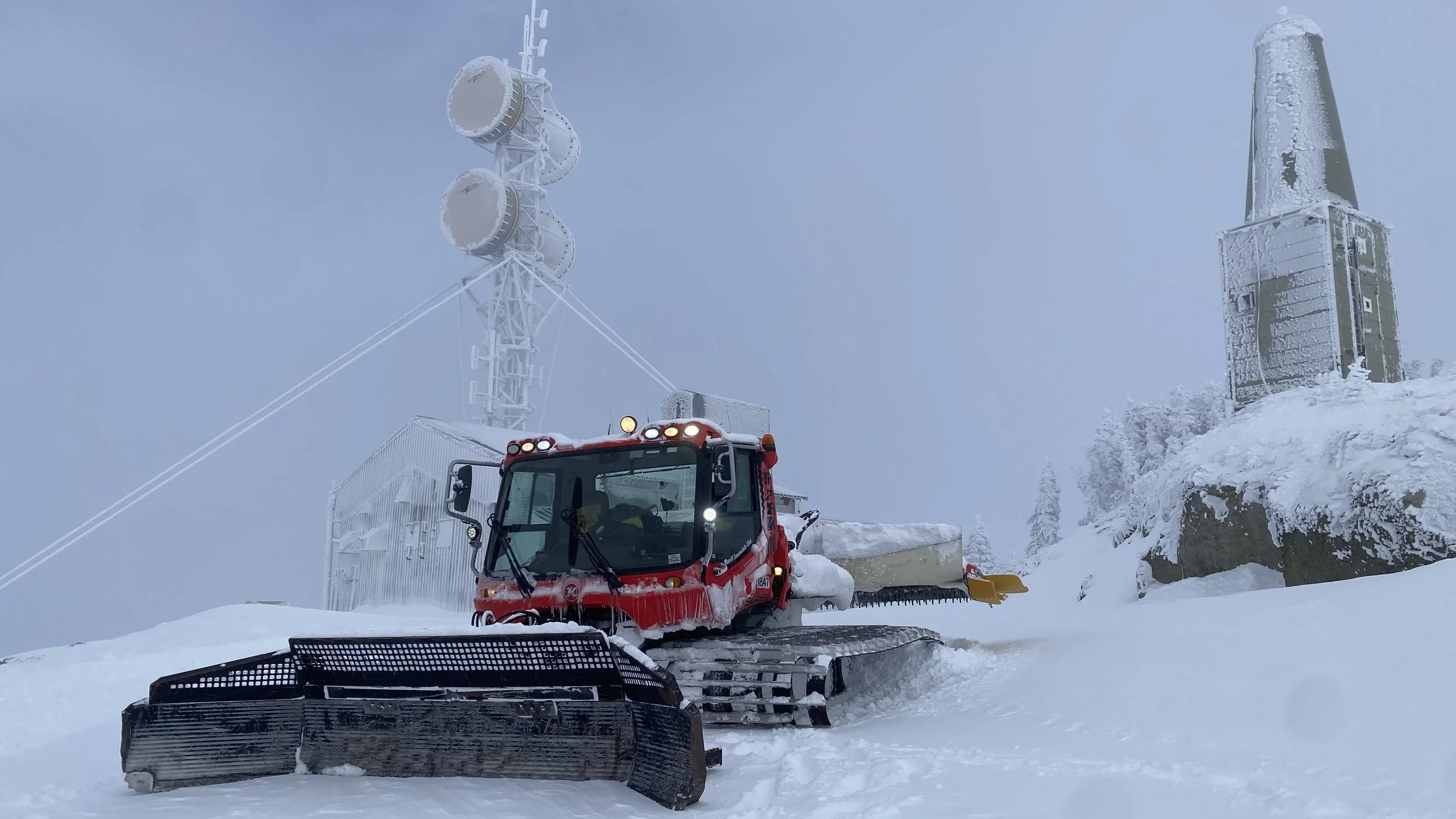
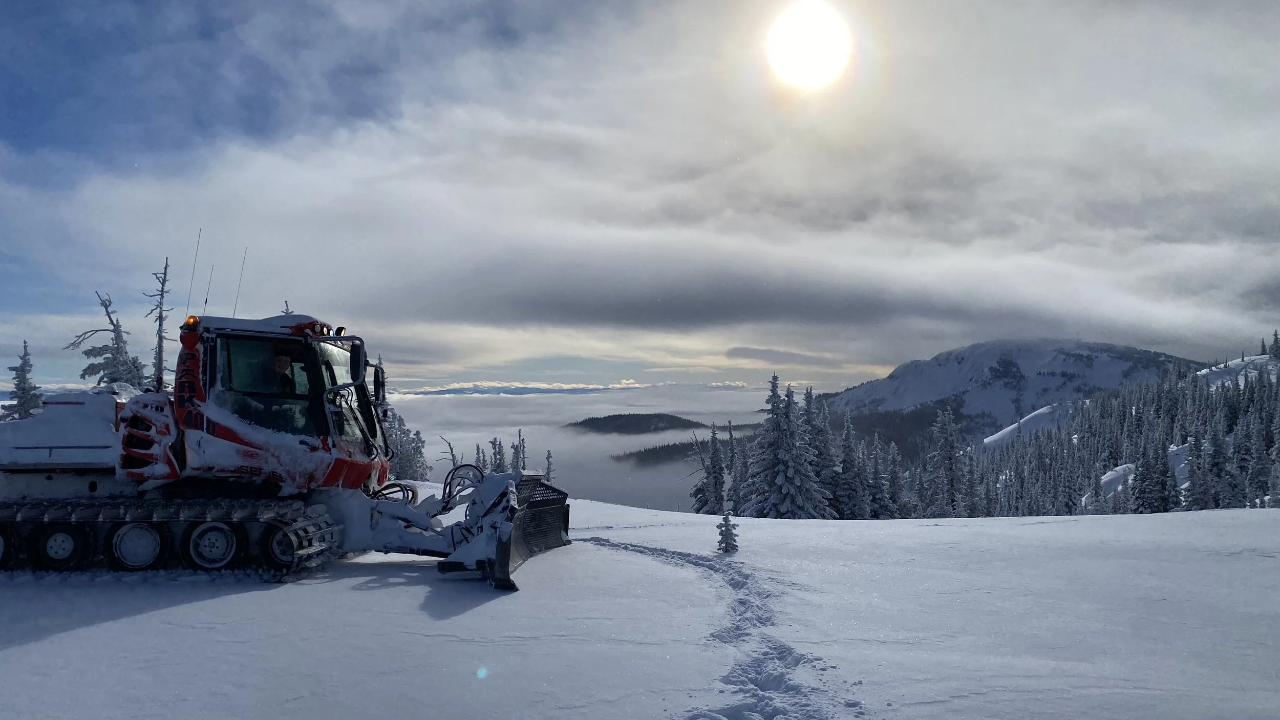
REAL-TIME GROOMER TRACKING
Across BC, snowmobile clubs use a range of tools to share grooming updates — from social media reports to interactive maps.
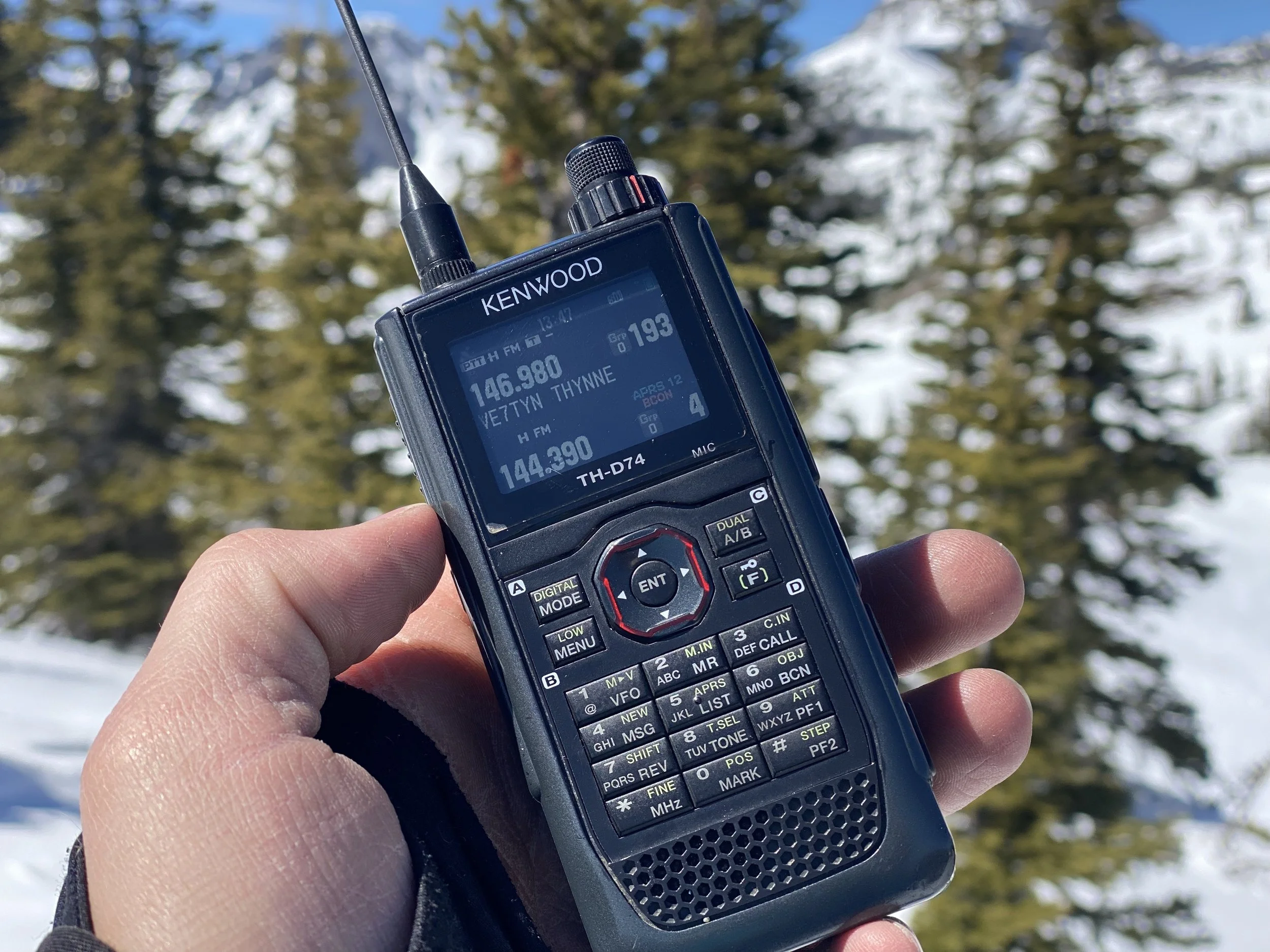
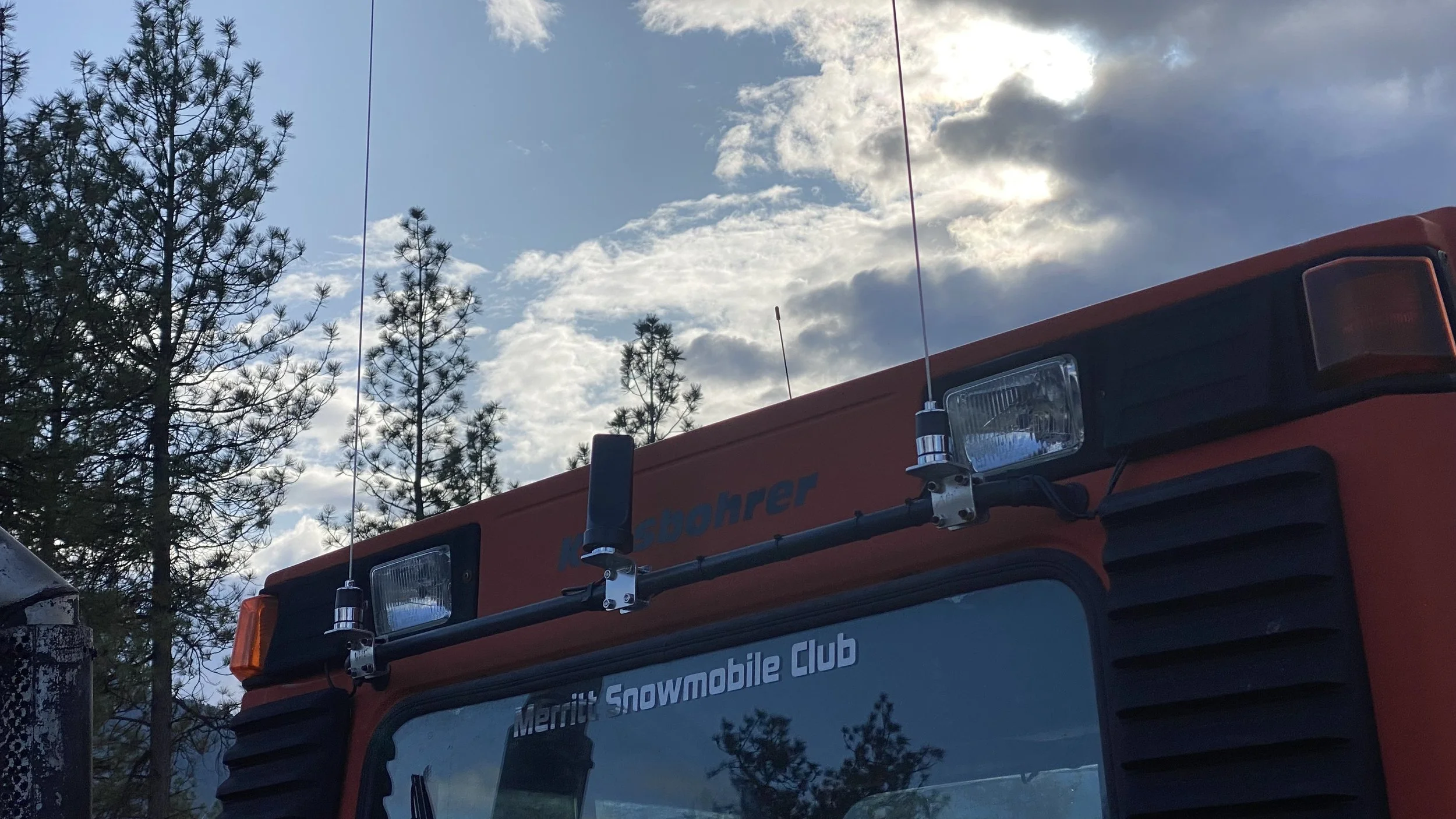
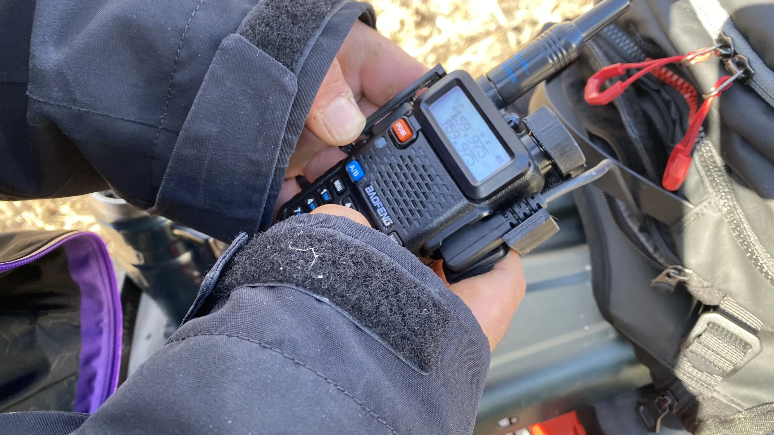
The Merritt Snowmobile Club uses APRS (Automated Packet Reporting System). This amateur radio–based system allows groomers to broadcast their GPS location through a network of mountain-top repeaters. That data is then relayed online, providing clear, time-stamped insight into where grooming has recently taken place.
For riders, it removes some of the guesswork. For the club, it’s a powerful way to track operations in real time. You can check it out HERE.
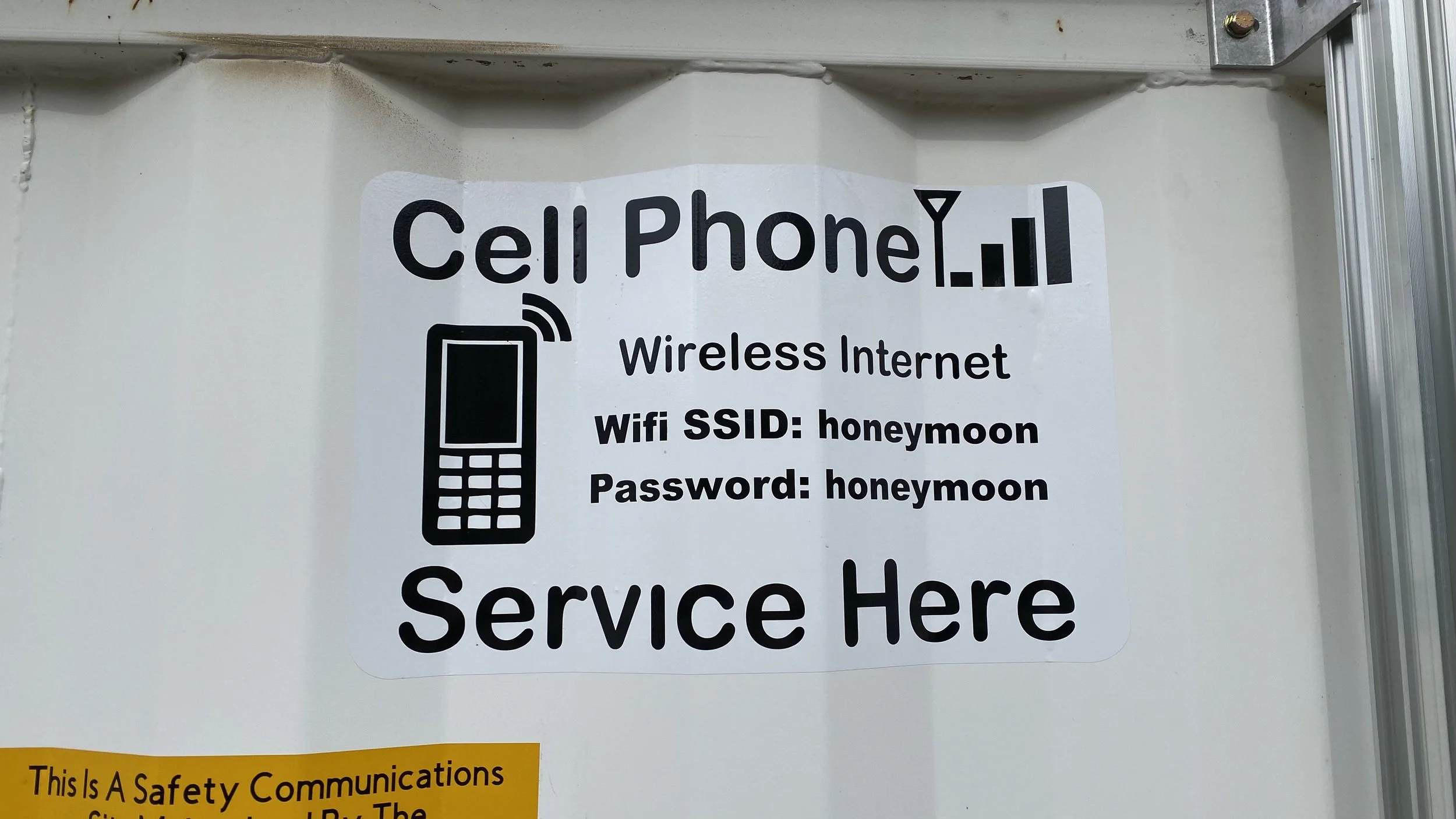
STAYING CONNECTED WHEN IT MATTERS
Cell service isn’t guaranteed in the backcountry, which is why the Merritt club has also facilitated a designated radio channel for riders.
Specific frequencies are assigned to different zones and are known to local search and rescue teams. In an emergency where there is no cell service, riders are encouraged to press the SOS button on their satellite emergency communications device then switch to the appropriate radio channel to assist with further search and rescue coordination.
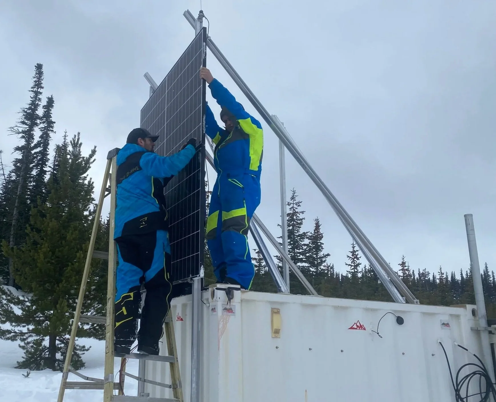
EXPANDING WHAT’S POSSIBLE IN THE BACKCOUNTRY
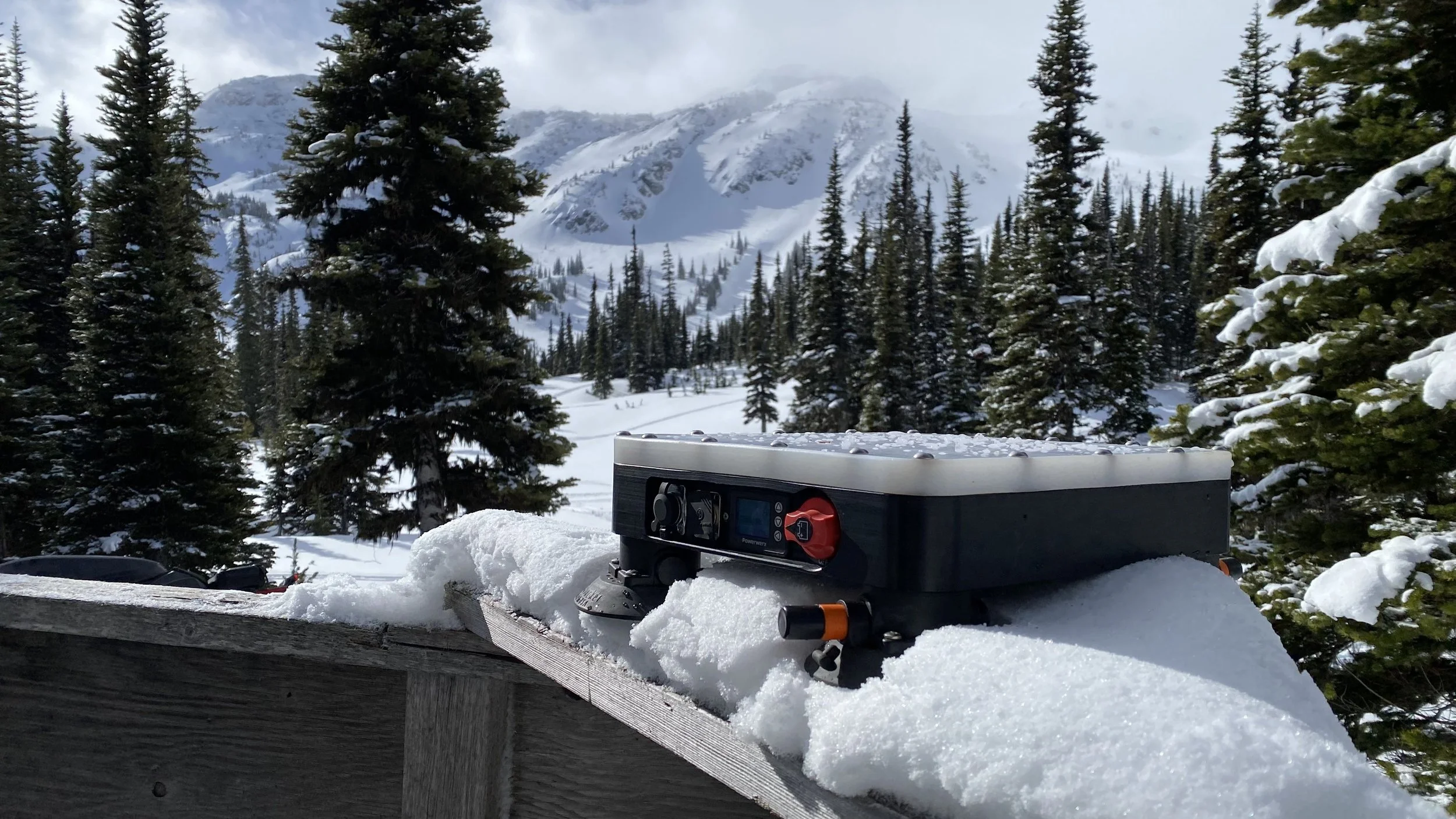
One of the biggest shifts happening right now is satellite connectivity.
Tools like Starlink are making it more feasible to install webcams, monitoring systems, and other infrastructure in remote mountain environments where traditional internet was never an option.
Clubs like Merritt are starting to explore what that really means in practice. Beyond improving reliability of existing systems, there’s growing potential for things like live club event broadcasting, real-time updates from the field, and new ways to connect riders with what’s happening in the mountains.
It’s still evolving, but it’s a glimpse into how club operations — and rider expectations — are beginning to shift alongside the technology itself.
A DIFFERENT KIND OF PROGRESS
For many riders, the backcountry is where you go to disconnect — to step away from the pace of everyday life.
And that hasn’t changed. But what’s becoming clear is that technology, when used thoughtfully, doesn’t take away from that experience. In many cases, it supports it; better information before you go, stronger tools for safety and stewardship.
In Merritt, that combination of terrain and technology is quietly shaping a more connected way to ride — one that helps riders, clubs, and even partner organizations better understand and care for the places we all depend on.
THE PEOPLE POWERING THE RIDE
The technology behind Merritt’s riding areas doesn’t happen by accident. It’s driven by people — including a father and son whose shared love of snowmobiling and tech has grown side by side.