FROM FAX MACHINES TO FORECASTS IN YOUR POCKET
HOW AVALANCHE SAFETY IN BC HAS EVOLVED
Not that long ago, checking an avalanche forecast before heading into the mountains wasn’t as simple as pulling out your phone.
Today, most of us can open an app, tap a map, and instantly see conditions for the places we love to ride across British Columbia. It’s fast, visual, and built right into how we plan our days in the backcountry. But it hasn’t always been this way.
Two decades ago, public avalanche forecasts in Canada were shared through voicemail hotlines, faxed printouts, and the occasional piece of paper taped up in pubs, visitor centres, or national parks. They were updated once a week and only covered a handful of regions, mainly along the South Coast and in the Columbia Mountains.
If you were riding outside those areas, you were often left guessing.
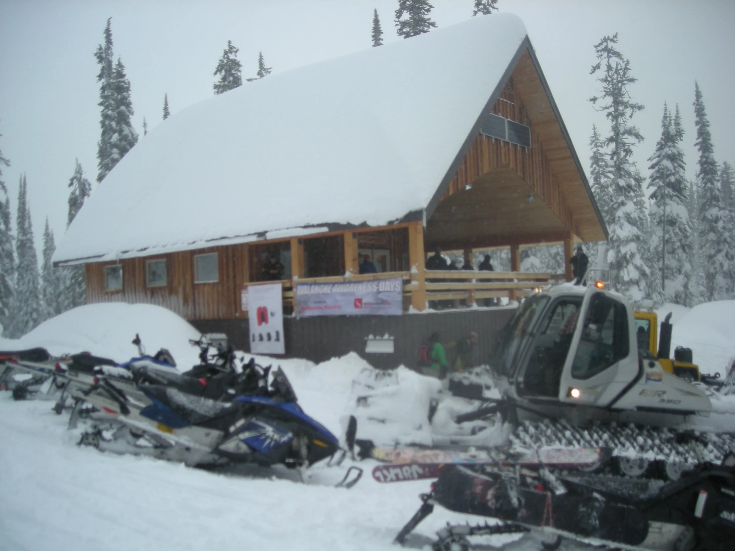
In places like Revelstoke, one of the only spots to check a printed forecast was the men’s washroom of a local pub. Not exactly ideal trip planning.
Even back then, the Canadian Avalanche Centre (which later evolved into separate organizations focused on public safety and professional services) knew riders wanted better access to information. More forecast regions were added, updates became more frequent, and the old phone lines started giving way to online text forecasts.
Still, they were long, clunky, and far from user-friendly.
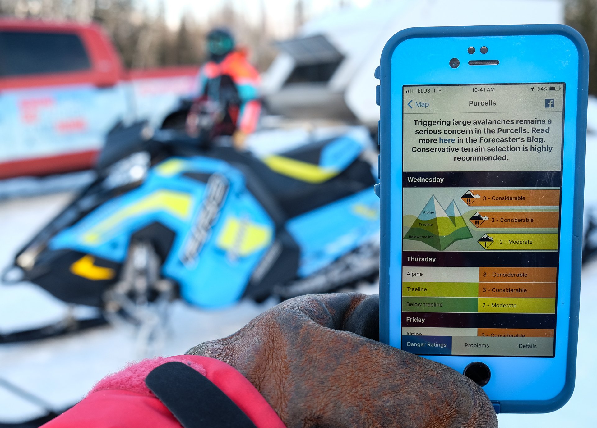
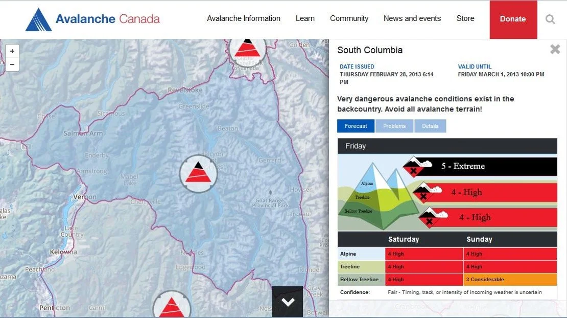
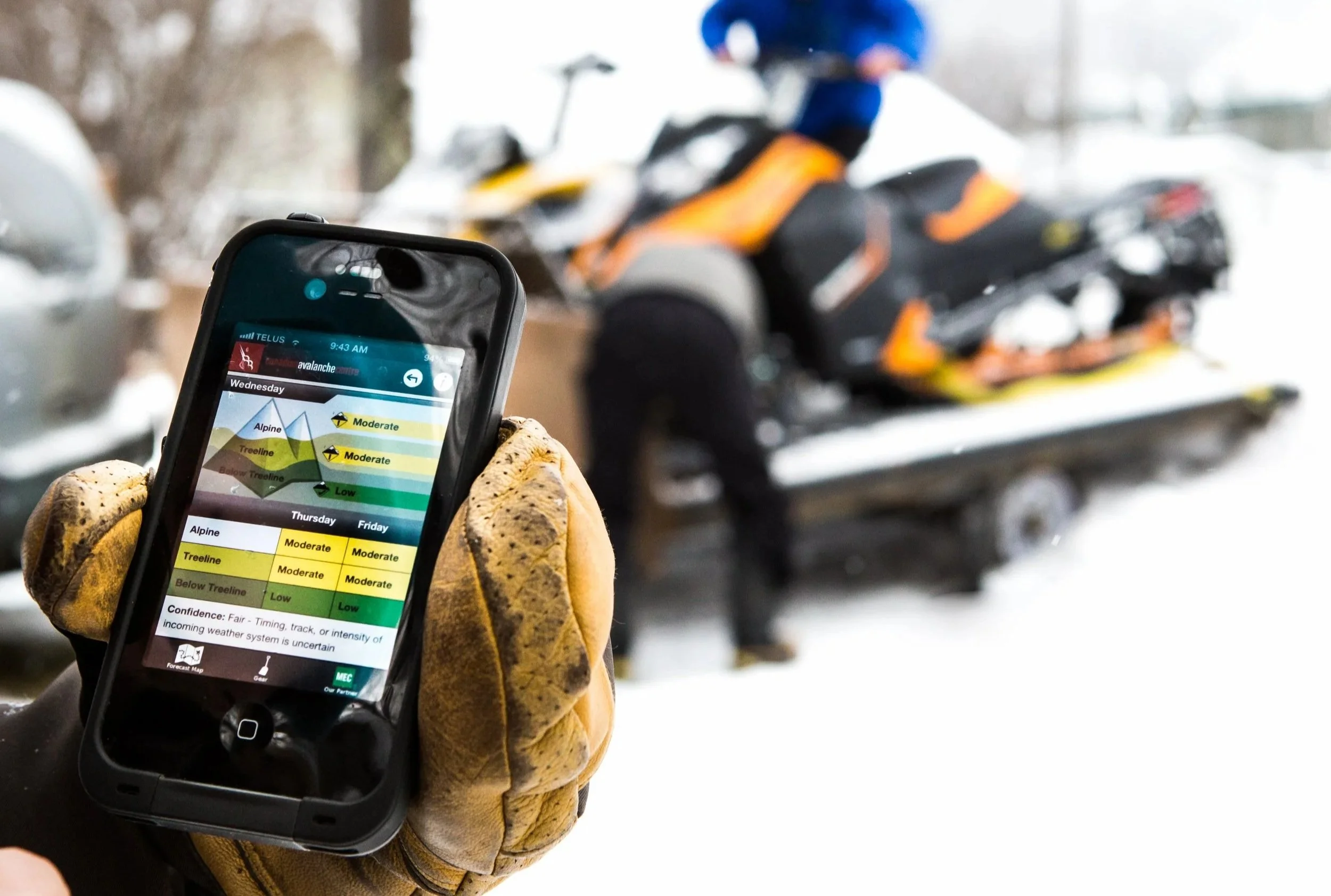
Everything changed in 2015 when Avalanche Canada launched the modern digital forecast platform riders recognize today. Interactive maps, clear danger icons, photos, and streamlined layouts transformed how backcountry users across BC plan safer days in the mountains.
Now forecasts can adapt quickly to changing conditions, be updated in real time when weather surprises hit, and connect directly to resources like the Mountain Information Network. It’s a massive leap forward for rider safety, trip planning, and responsible recreation.
And the evolution isn’t slowing down.
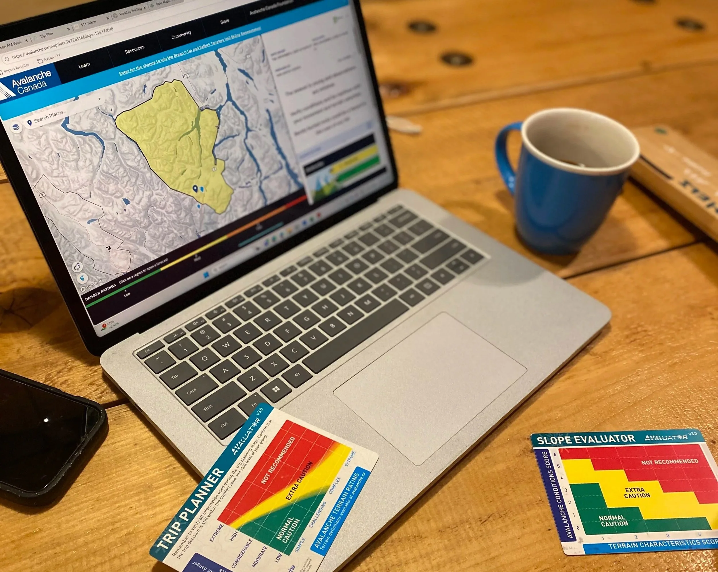
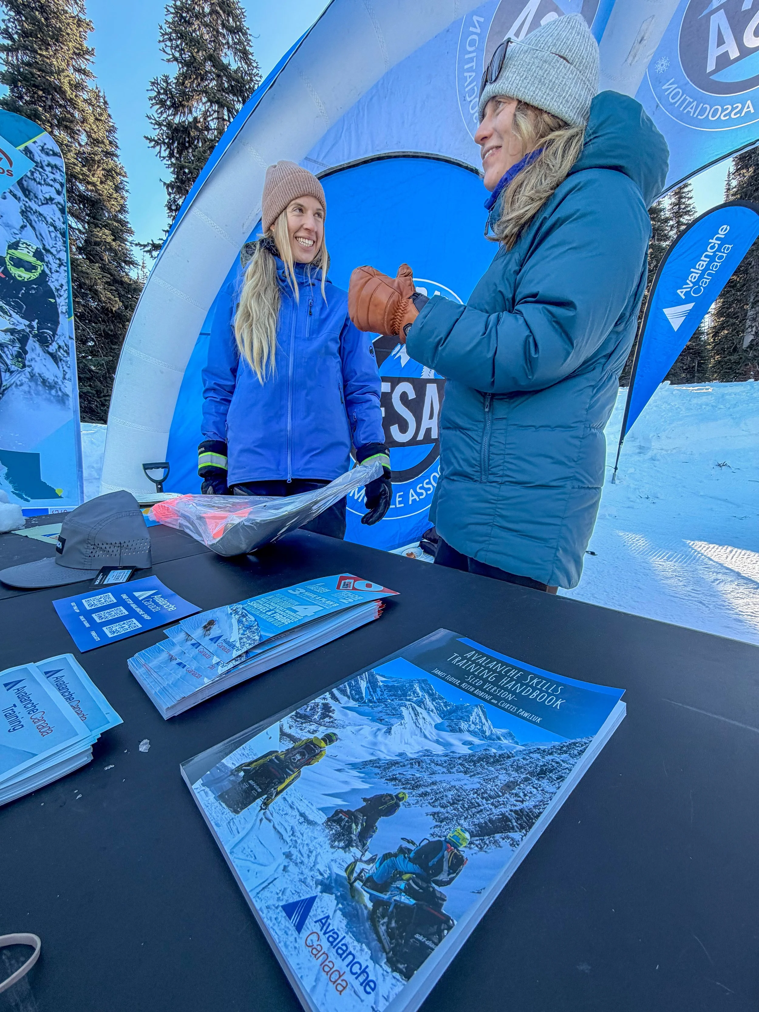
This year brought updates to tools like the Avaluator, a new AST 1 handbook, and exciting improvements to the Avalanche Canada app and Mountain Information Network. Next year will include updates to the Sled AST 1 program as well.
Behind all of it is one goal: building tools that actually work for the people using them in real mountain environments.
That’s where riders come in.
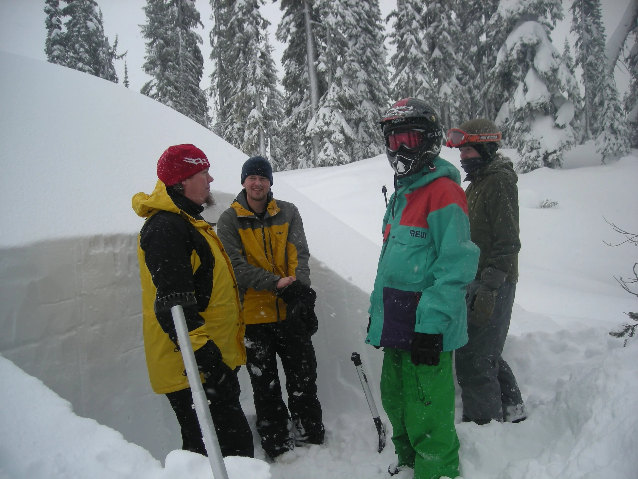
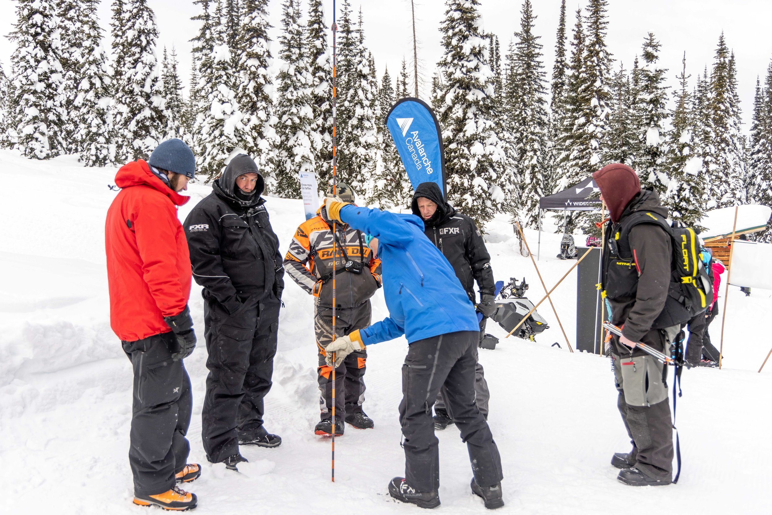
Avalanche Canada recently launched a User Research Panel to gather direct feedback from backcountry users — and sledders in particular. Historically, snowmobilers have been underrepresented in research like this, yet we’re a huge part of BC’s winter backcountry community.
Your experience matters.
By joining the panel, you can help shape future tools, share what works (and what doesn’t), get early access to new features, and even enter draws for prizes. You don’t need to be an expert — just someone who rides and cares about staying informed and safe.
Because better forecasts mean better decisions, better riding days, and a stronger backcountry community across British Columbia.
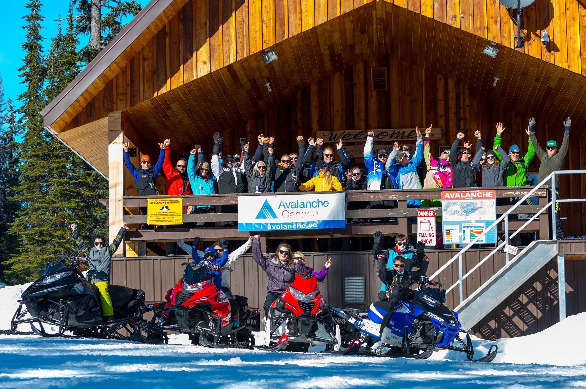
Avalanche Canada is the national organization responsible for public avalanche forecasts, education, and safety tools that support backcountry users across Canada.
Want to help shape the future of avalanche safety for sledders? Join the Avalanche Canada User Research Panel and share your voice