RIDE GUIDE: HITTING PAYDIRT IN CORBIN, BC
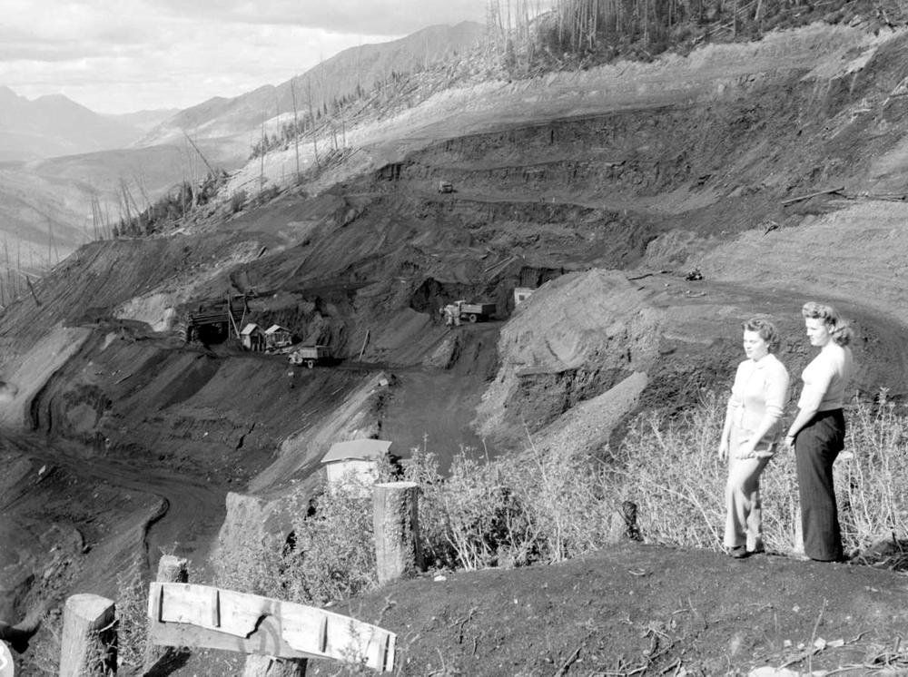
Deep within a remote valley in the farthest southeastern reaches of British Columbia is the ghost town of Corbin. A place where the air is thin and the snowmobile stoke runs as thick as the 200m wide black seam of coal that put this place on the map in 1905.
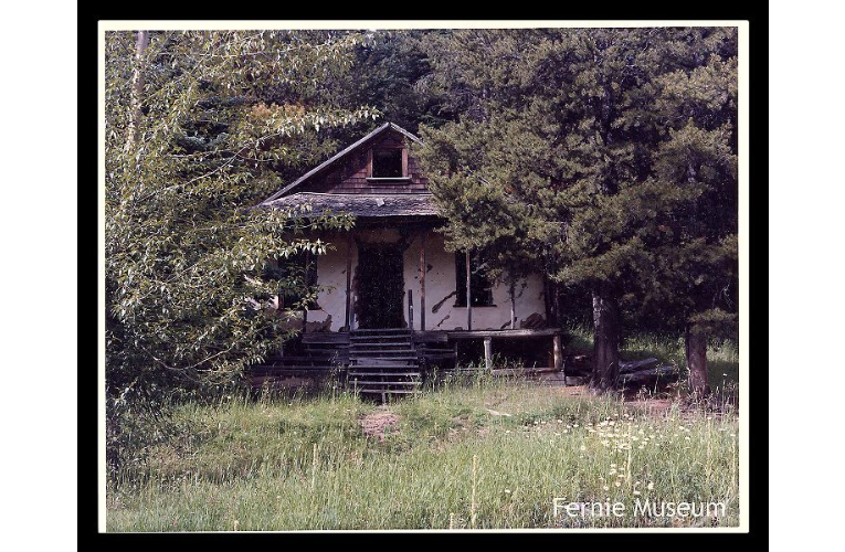
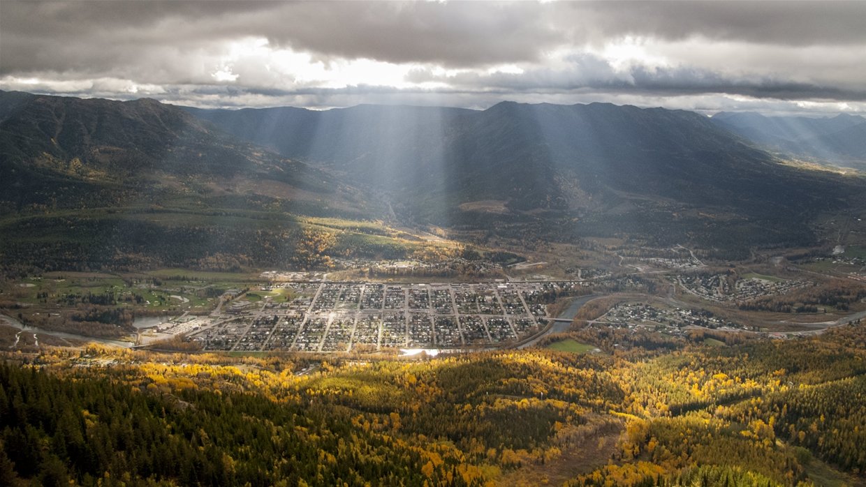
There is little left of the town site today - just one street with a few weathered cabins and a graveyard hidden in the hills. But by 1912, after the discovery of the lucrative “Big Show” coal seam, a mine employing 173 men and a company townsite with its own railway, store, and hotel was raised. At the peak of operations, ‘Coal Mountain’ produced 2.5m tonnes of steel-making coal each year before ramping down to care and maintenance status in 2018.
The vibe in the Elk Valley is work-hard / play-hard. It is still home to four operational coal mines alongside world-class recreation amenities including skiing, mountain biking, fishing, hiking, and yes…snowmobiling. Resource extraction and tourism work hand in hand to shape the regional values and economy to this day.
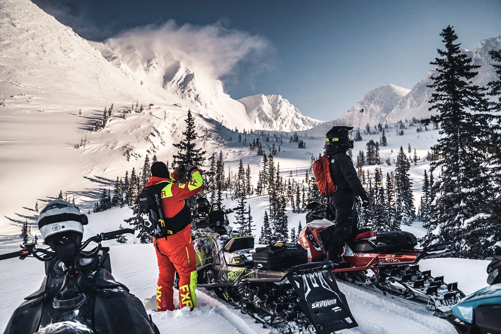
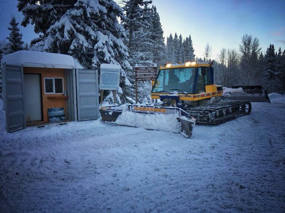
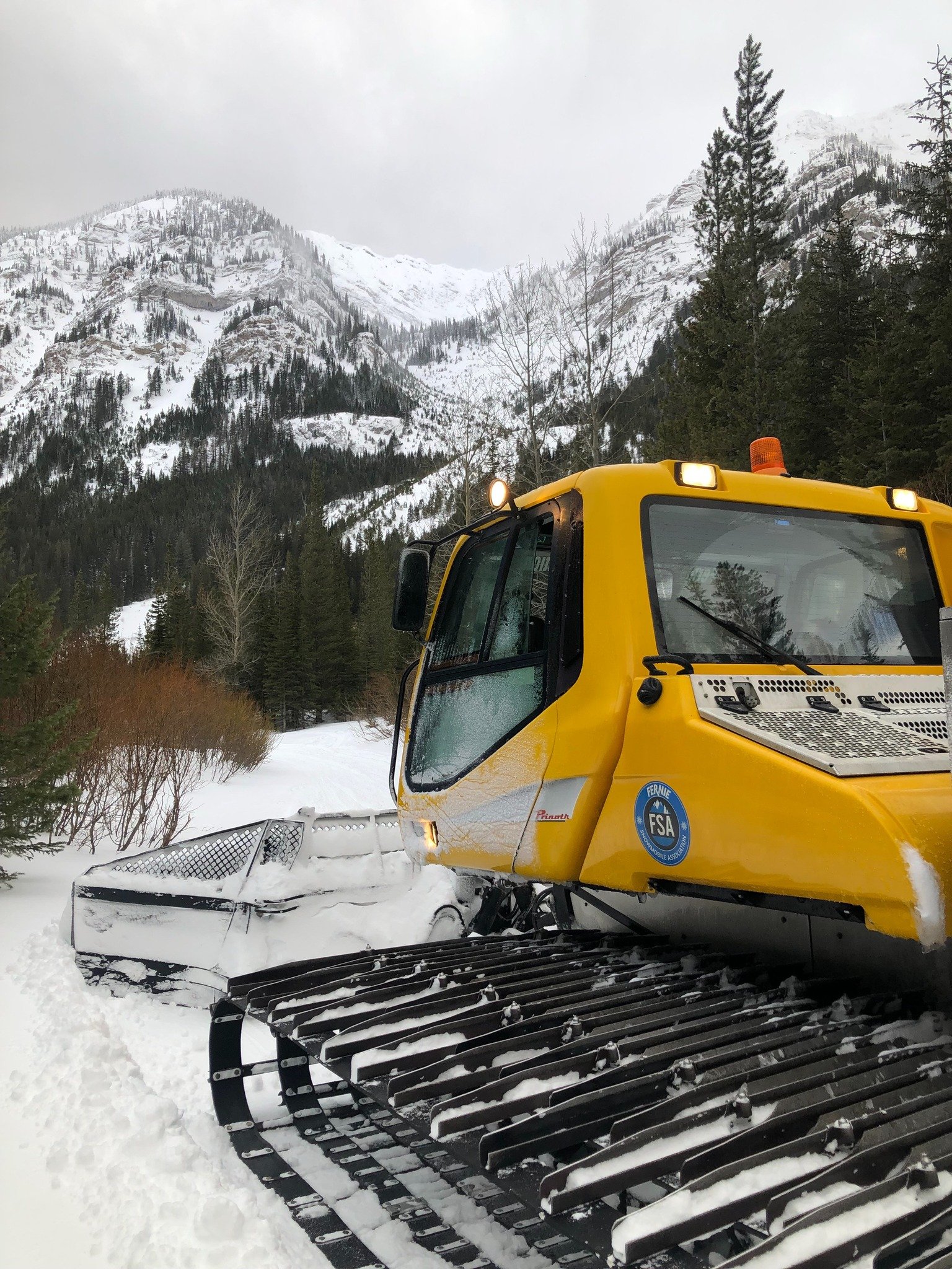
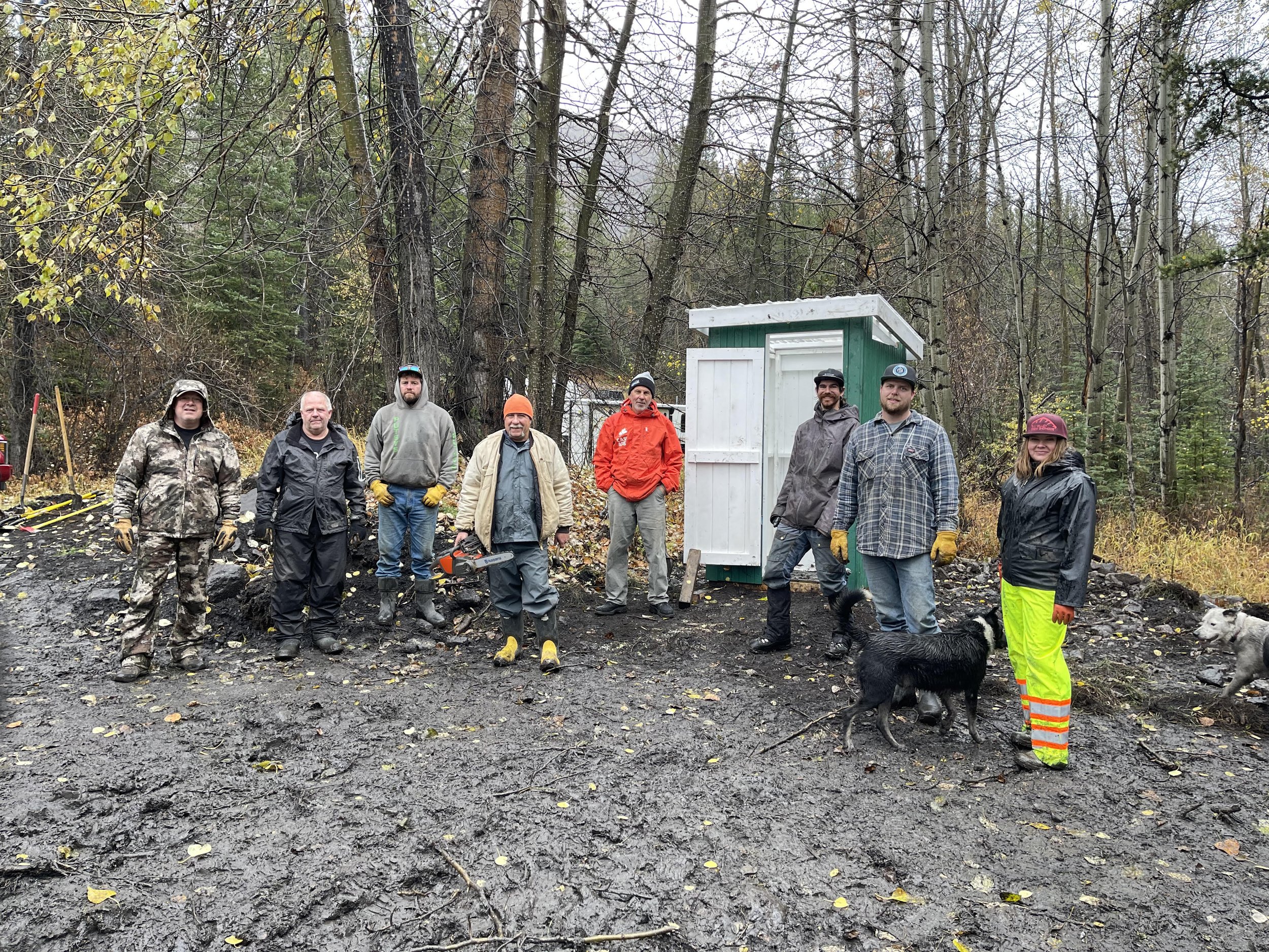
Corbin is one of five organized snowmobile recreation areas managed by the Fernie Snowmobile Association in partnership with government and private land owners. The commute and staging area, in the old mine parking lot, are remote; however, the riding provides almost immediate access from the valley bottom on a regularly groomed trail to what many say is British Columbia’s richest stash of playful sub-alpine tree riding terrain.

DIRECTIONS:
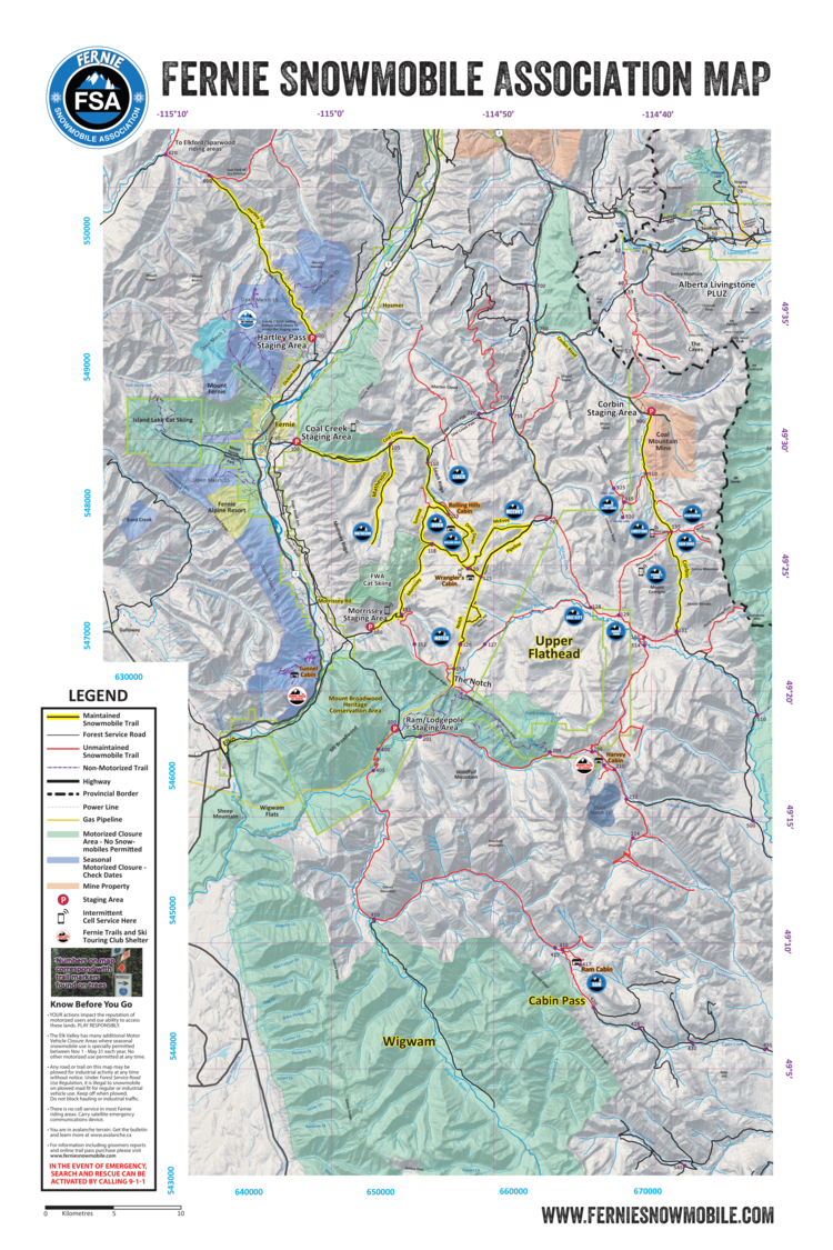
To reach the staging area, head East of Fernie towards the Alberta border on Highway 3, turn right (South) on Corbin Road following the signs for TECK Coal Mountain Operations. The 23km route follows the CPR branch line that once served the mine. Do not stage at the ‘big bend’ site of the Byron Creek tin shed pigging station - the yellow gates here mark the emergency service parking lot for the gas line. Instead, continue past the CPR balloon track and loading tipple another few kilometers until you pass the old town site. You will find the staging area at the end of the road on the right.
KNOW BEFORE YOU GO:
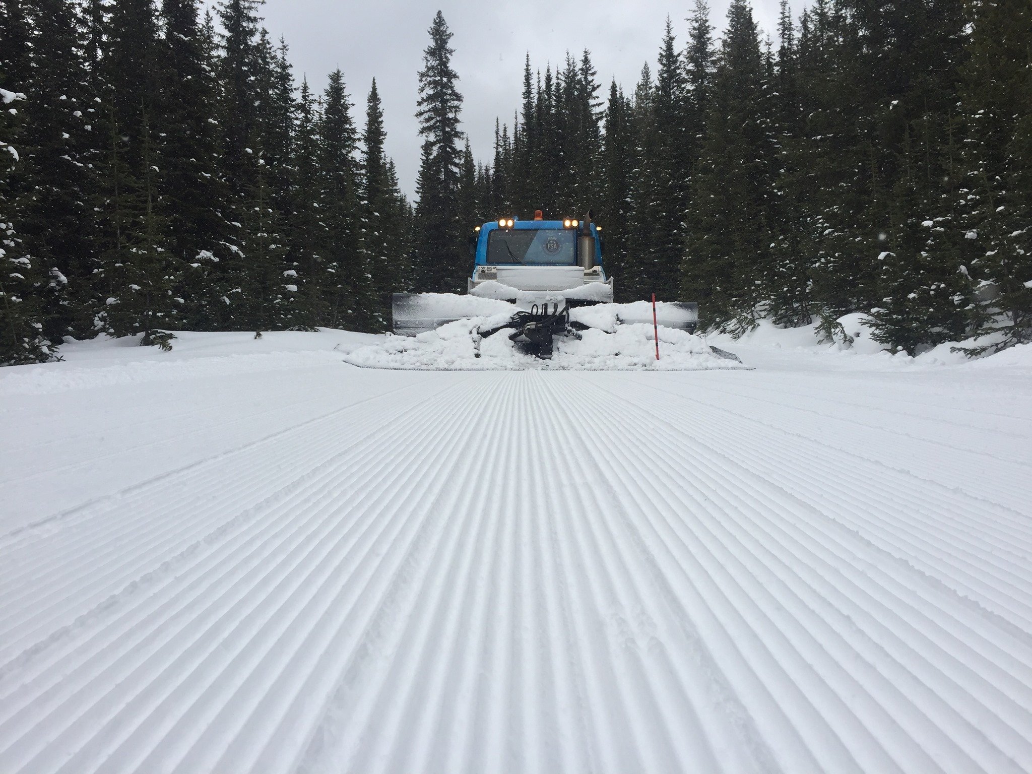
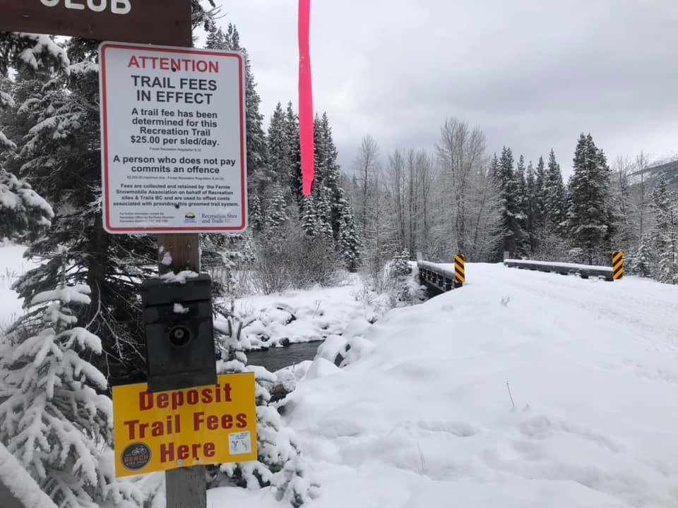
With its smooth valley bottom trail and high elevations, Corbin is routinely one of the first places in the region to open for snowmobiling each year. Grooming typically commences in mid-November and good-quality riding can extend well into late spring.
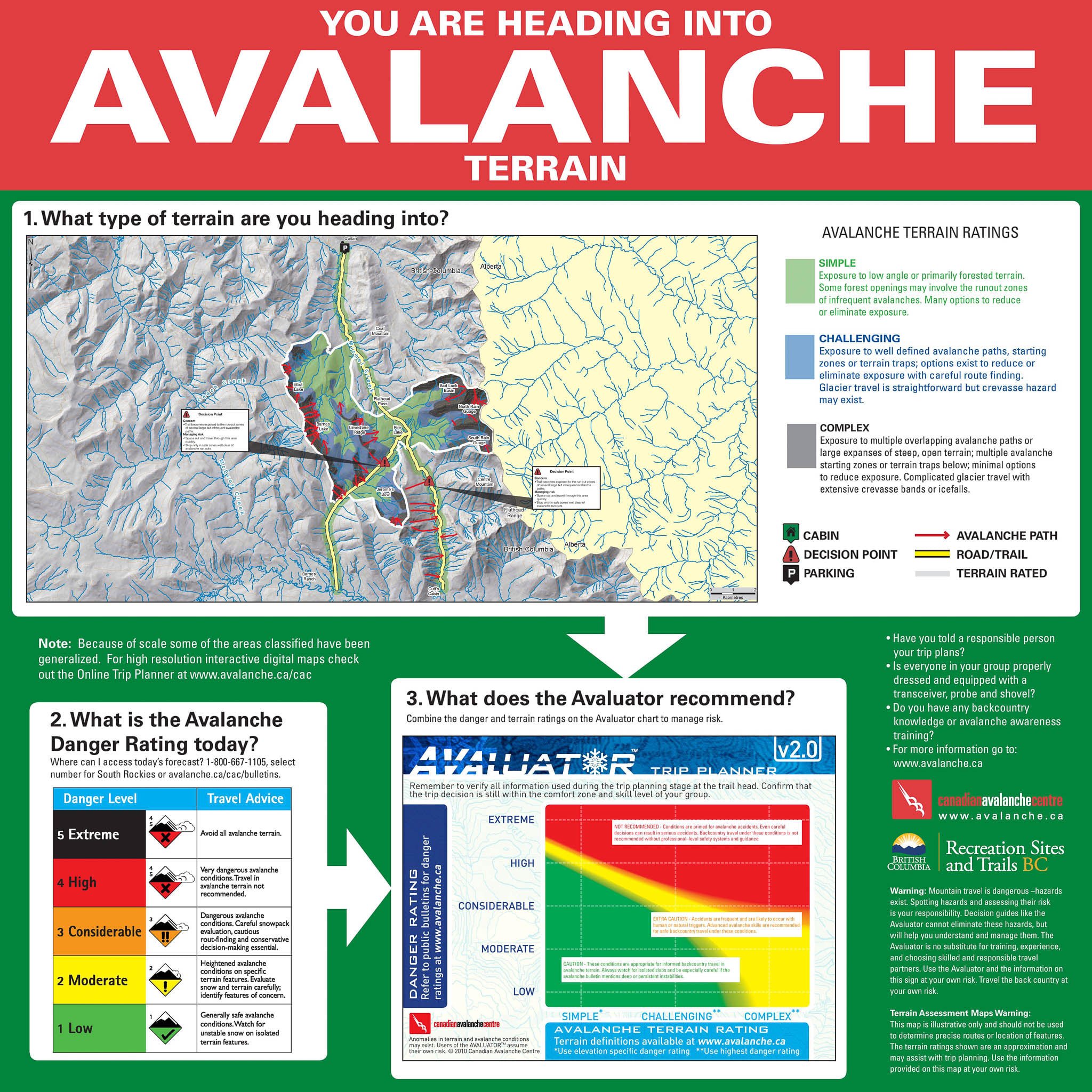
This is the gateway to the Flathead Valley. Riders must pay particular attention to the multiple Motor Vehicle Closure Areas and restrictions enacted to protect the ecological integrity of this globally significant watershed. The snowmobile club has worked diligently to secure seasonal snowmobile permits that allow riding in select areas. It is up to each rider to maintain this access and good will towards snowmobile recreation by respecting regulations. Check the BC Provincial Snowmobile Trail Map for locations of designated parking and areas open for snowmobiling.
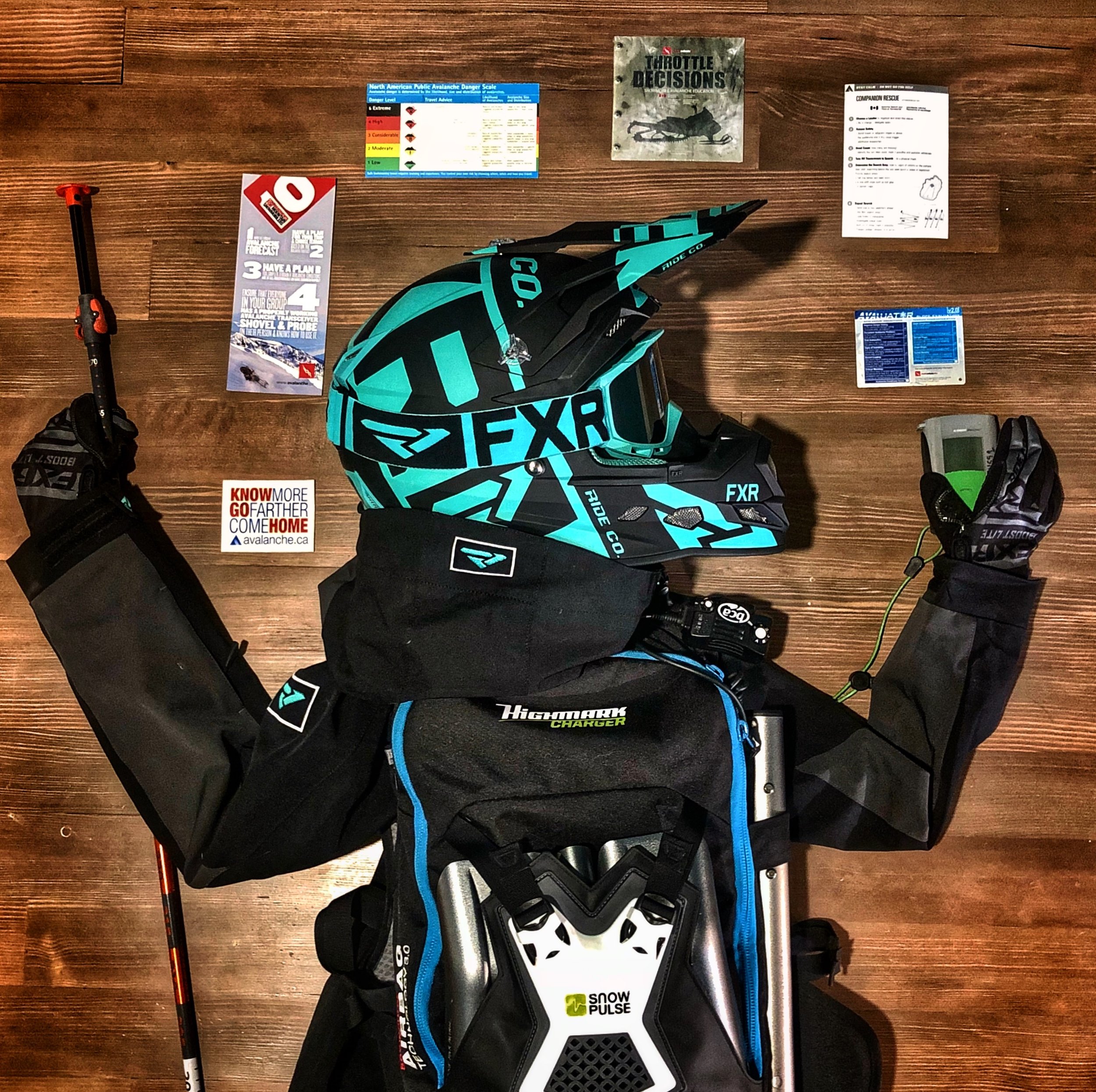
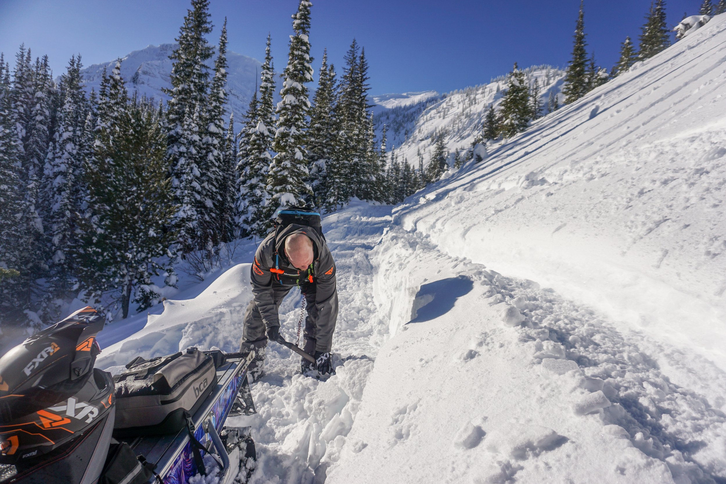
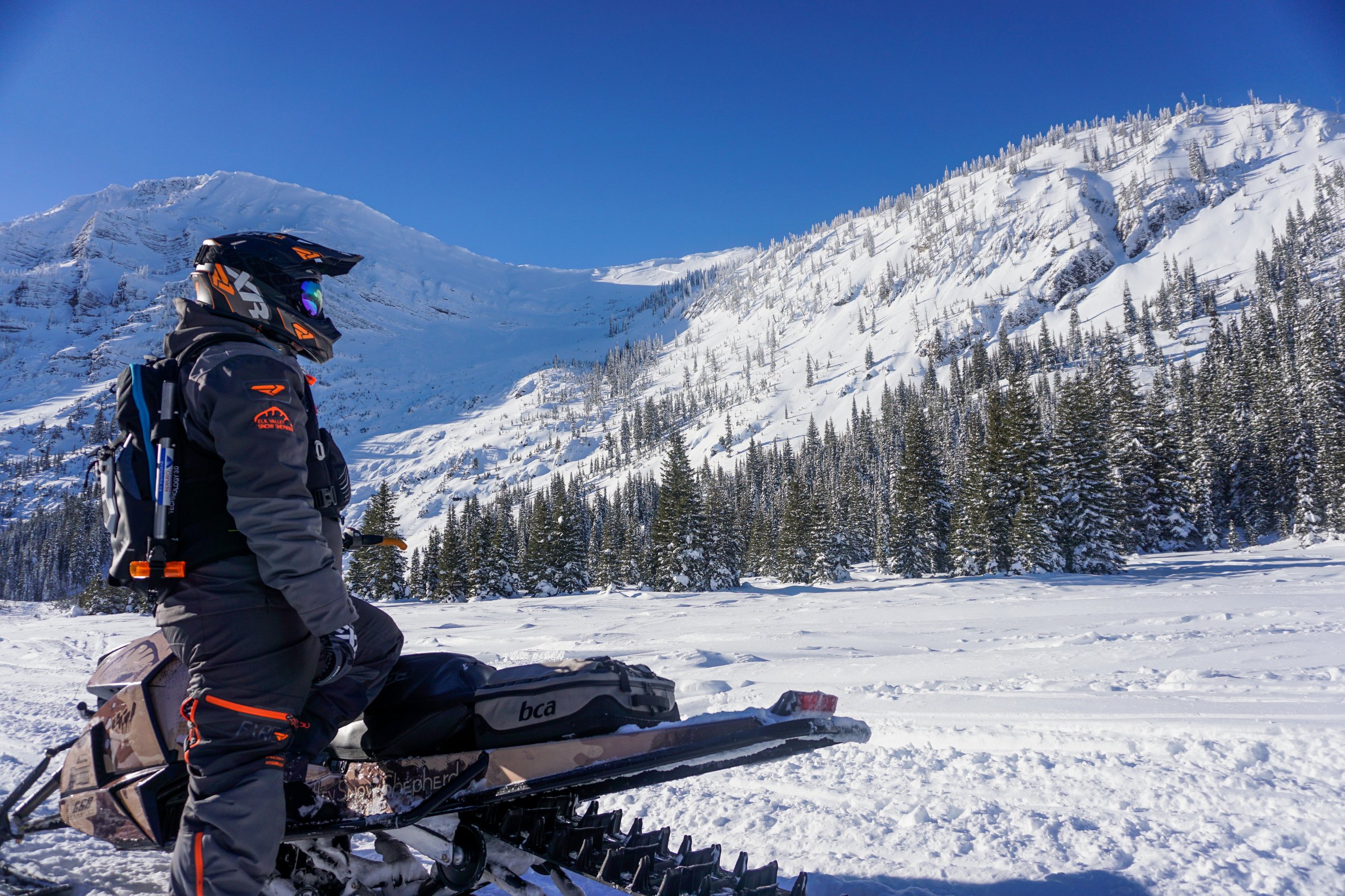
This is avalanche terrain. Riders should be equipped with the knowledge acquired in an Avalanche Skills Training Level 1 course (or higher), the right equipment for traveling in the backcountry, and a satellite communications device in case of emergency. There is no cell service once you turn off the highway and help can be far away.
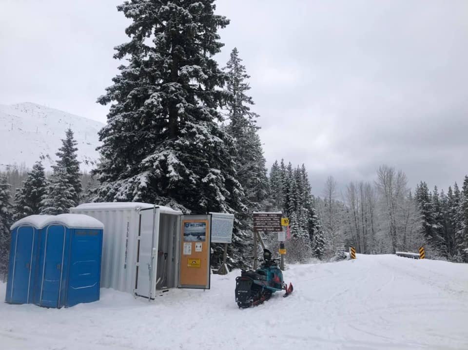
Trail Fees: $25 per rider/day, payable at the trailhead (use deposit box when no attendant is on site) or online HERE.
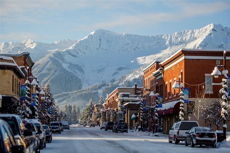
Stay: Fernie, BC. Rolling Stone magazine called it ‘The Coolest Town in North America’. This authentic mountain community provides a wide range of accommodations, activities, and services for snowmobilers.
WHERE TO RIDE:
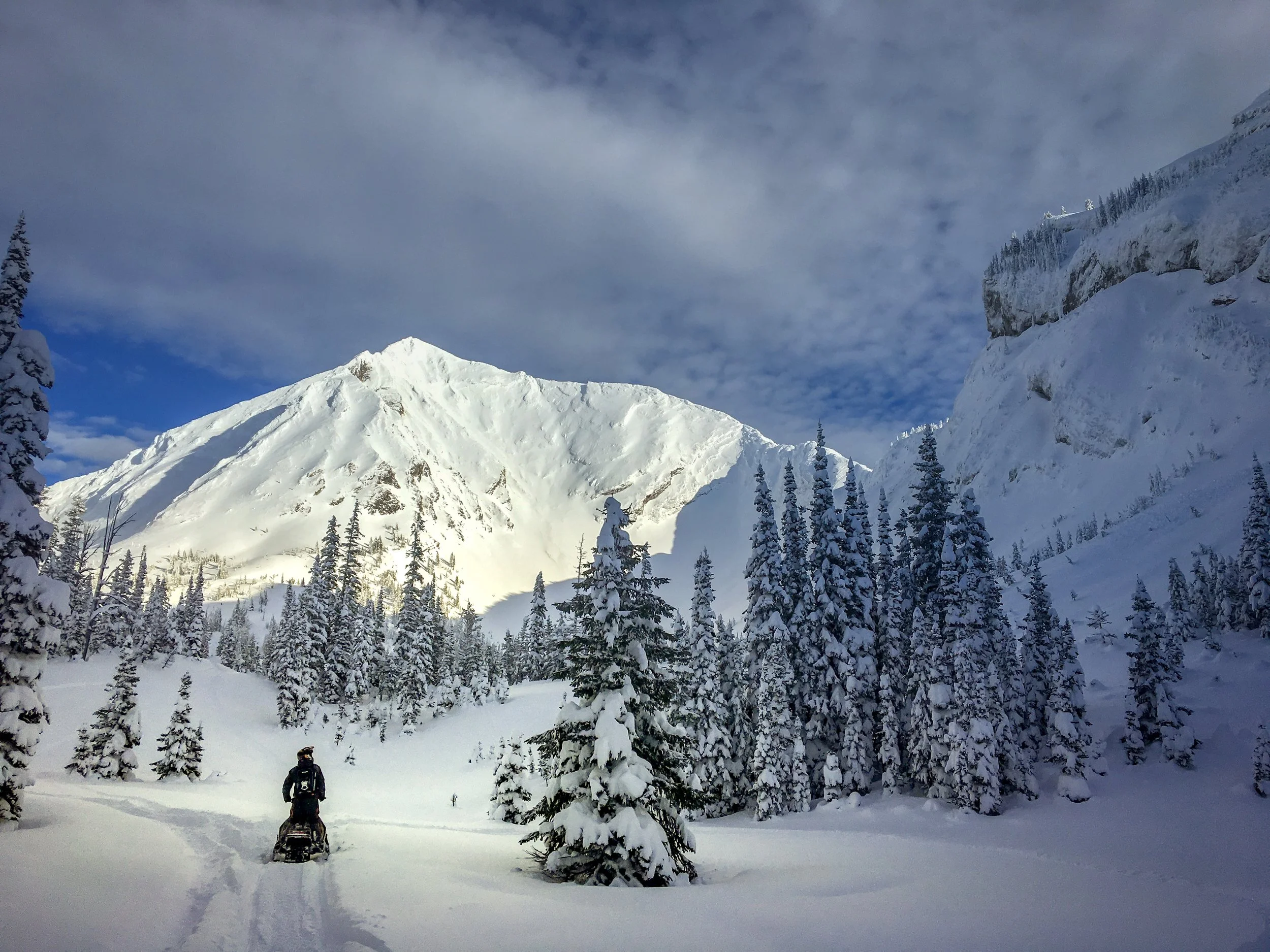
The Corbin area consists of a 22km groomed valley bottom artery trail with a series of unmaintained spurs climbing through the forest into various bowls and basins. At the end of the grooming is a junction with the McClatchie and expanses of the largely non-motorized Flathead Valley beyond.
From the staging area, head south on the groomed trail that parallels the mine boundary fence until you reach a fork. To the right, the trail crosses a creek and makes a switchback on a new logging road before riders will quickly need to make another right onto the original single track that steadily climbs to Barnes and Elliot Lakes. Back down at valley bottom, the left arm of the fork continues along the artery to other popular areas including Heartbreak, Bad Luck Basin, Rain Gauge, Fire Lake, and Jerome's Bowl.
The trail to Barnes and Elliot Lake is unmaintained but is an easy climb save for one short area of exposed slope that can become drifted in. A quick shovel and hop to the uphill side running board will serve most novice riders just fine. The viewshed and riding soon opens into a large lake basin within a massive headwall amphitheater - classic Fernie topography. More adventurous riders can continue climbing on the trail headed uphill to the right to explore the nooks and crannies of Elliot Lake. Strong riders can follow a vague tree trail on the south end of the Barnes Lake shoreline before climbing an exposed gully to reach the Limestone Ridge.
For those who continued left at the fork on the main trail, Heartbreak and Bad Luck Basin are hidden left turns and a deserved reward for those with a keen sense of direction willing to navigate the vague route in.
If you are looking to stick to more of the beaten path, watch for a notable junction a few km after the fork with a single-track trail climbing left to the Rain Gauge or right to Fire Lake and Jerome’s Bowl beyond.
The climb up to the North and South arms of the Rain Gauge bowls is an easy one and will provide novice riders with a relatively effortless opportunity to enjoy the sub-alpine scenery.
The wind can be wicked here and the best riding is found exploring the sheltered bottoms of the hanging valleys. Snow geeks will revel in the unique scouring, saltation, and deposition patterns of snow as the prevailing winds are forced to bend and swirl over the various terrain features. The Avalanche Canada ATES Trip Planner Tool provides valuable resources for selecting safe terrain to match the current avalanche hazard.


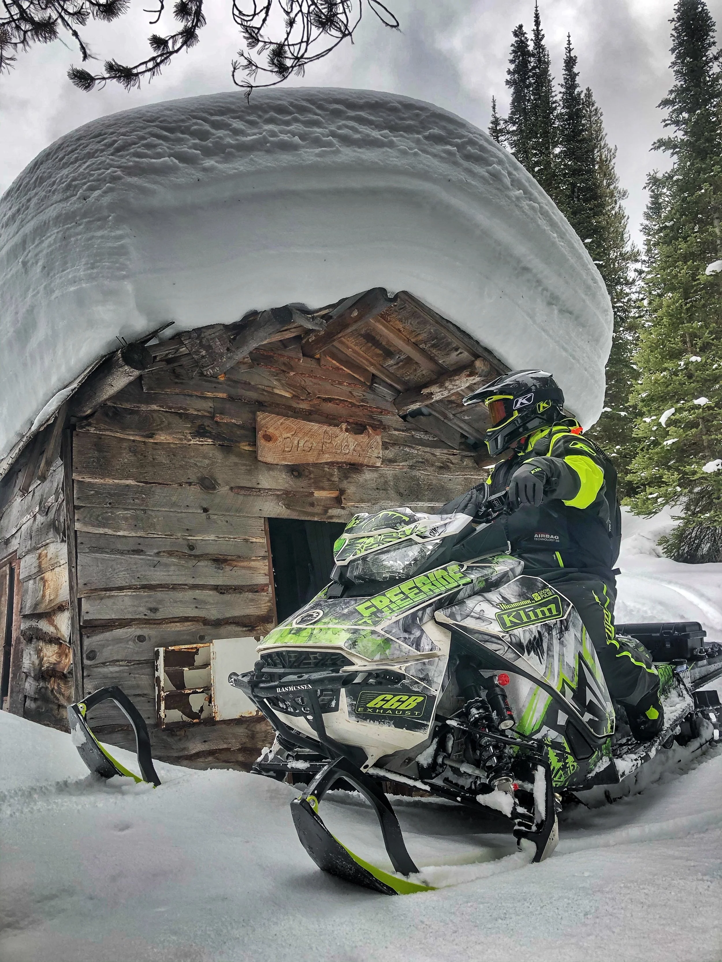
Adventurous riders may wish to set off on a journey beyond the frozen meadows of Fire Lake through the twists and turns of old cart roads to Jerome’s Bowl or any one of the many other secret stashes that can be earned. Don’t be surprised to find remains of old trappers' cabins and homesteads - but please leave them as found.
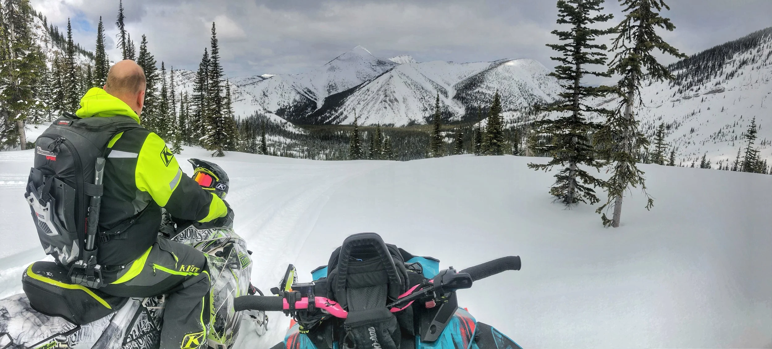

It is possible to connect via a circuitous route to the Morrissey staging area or Harvey Pass but, at the end of the day, most riders will return back the way they came to Corbin. Despite its small size and remote stature, Corbin remains a worthy destination for any willing sledder. It is rustic by design. To be fully enjoyed, riders must pack enough fuel, a resourceful sense of adventure, respect for the landscape, and an eagerness to get out there and explore.
Photos:
Header image: Elk Valley Snow Shepherds, Corbin historic - Fernie & District Historical Society, modern day resort community of Fernie - Tourism Fernie, Fernie Snowmobile Association - various, all other images Nicole Matei

Nicole Matei is a rider, writer, backcountry safety educator and recreation manager. You can find her supporting BC Snowmobile Clubs as a the BCSF Program and Marketing Manager or in one of her other roles advocating for motorized recreation opportunities in Fernie, BC.

